File:Egypt adm location map.svg

Original file (SVG file, nominally 1,055 × 973 pixels, file size: 331 KB)
| This is a file from the Wikimedia Commons. Information from its description page there is shown below. Commons is a freely licensed media file repository. You can help. |
Summary
| Description |
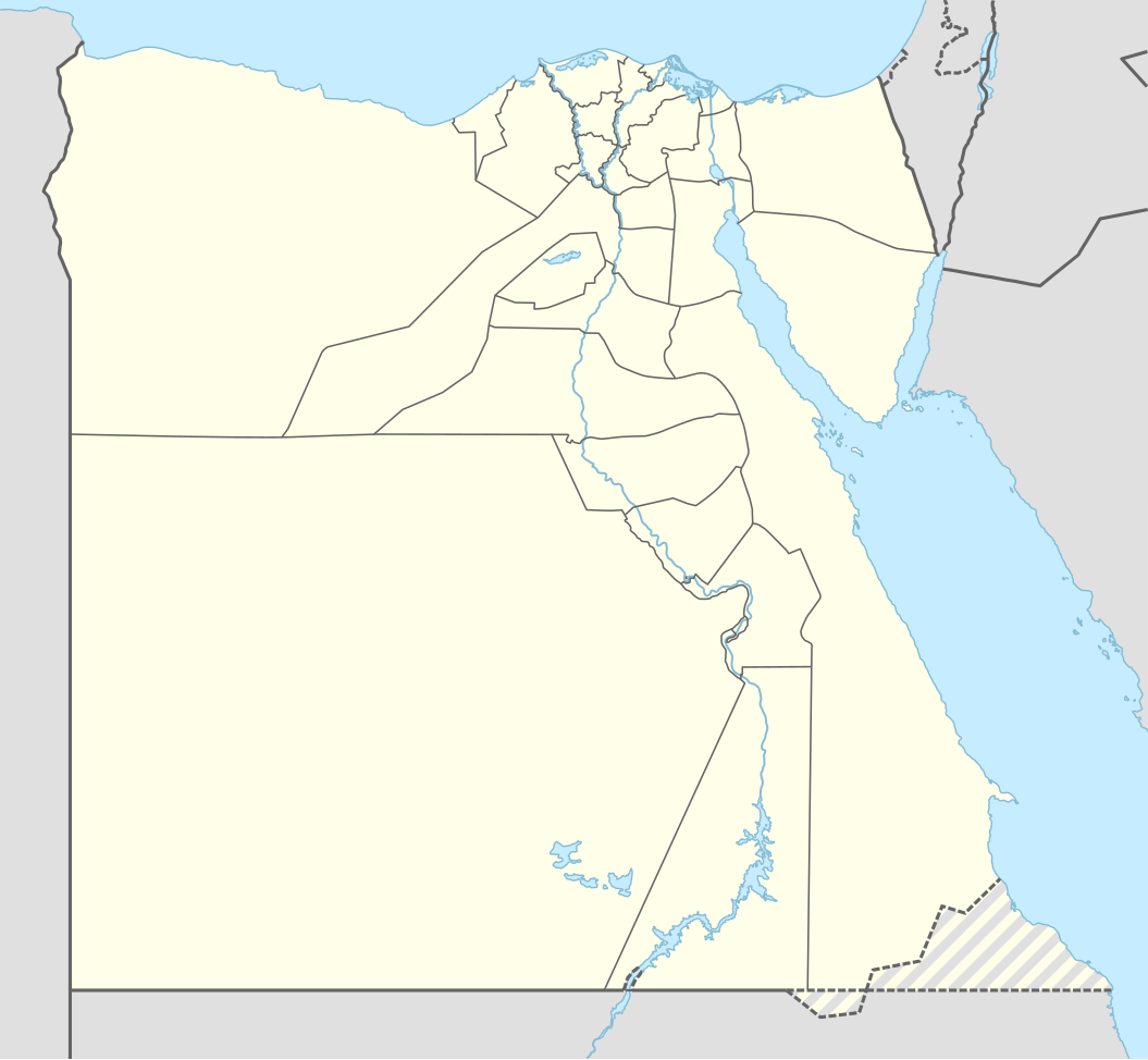
Deutsch: Positionskarte von Ägypten
English: Location map of Egypt
|
||||||||||||
| Date | |||||||||||||
| Source |
Own work using:
|
||||||||||||
| Author | NordNordWest | ||||||||||||
| SVG development | This map was created with Adobe Illustrator.
|
||||||||||||

Licensing
Usage of this file with:

explanatory notes: Legally binding is only the full legalcode. For a free usage I recommend to respect the following licence conditions:
1. Provide my name as given above: NordNordWest,
2. a copy of, or the URI for, the applicable license: https://creativecommons.org/licenses/by-sa/3.0/de/legalcode,
3. the title of the work,
4. in the case of an adaptation, a credit identifying the use of the work in the adaptation.
This license and the rights granted hereunder will terminate automatically upon any breach by you of the terms of this license. Any of the above conditions can be waived if you get permission from the copyright holder. If you have questions or wish differing conditions, please contact me through nnwest or my discussion page ![]() t-online.de
t-online.de
- You are free:
- to share – to copy, distribute and transmit the work
- to remix – to adapt the work
- Under the following conditions:
- attribution – You must give appropriate credit, provide a link to the license, and indicate if changes were made. You may do so in any reasonable manner, but not in any way that suggests the licensor endorses you or your use.
- share alike – If you remix, transform, or build upon the material, you must distribute your contributions under the same or compatible license as the original.

File history
Click on a date/time to view the file as it appeared at that time.
| Date/Time | Thumbnail | Dimensions | User | Comment | |
|---|---|---|---|---|---|
| current | 20:51, 17 January 2017 | | 1,055 × 973 (331 KB) | NordNordWest | corr |
| 16:48, 9 November 2014 |  | 1,055 × 973 (331 KB) | NordNordWest | == {{int:filedesc}} == {{Information |Description= {{de|1=Positionskarte von Ägypten}} {{en|1=Location map of Egypt}} {{Location map series N |stretching=111,8685 |top=32.1 |bottom=21.3 |left=24.2 |right=37.3 }} |Source={{Own using}} * United States N... |
File usage
The following 21 pages use this file:
- 1997 FIFA U-17 World Championship
- 2009 FIFA U-20 World Cup
- Aswan International Airport
- Asyut
- Bir Tawil
- Desouk
- Early Dynastic Period (Egypt)
- Egyptian Premier League
- El Zarqa
- Ismaïlia
- Jabal al-Zeit wind farm
- Kafr Saad
- Mansoura, Egypt
- Saluga and Ghazal protected area
- Shubra El-Kheima
- Suez
- Taba, Egypt
- Thebes, Egypt
- Thinis
- Module:Location map/data/Egypt
- Module:Location map/data/Egypt/doc
Global file usage
The following other wikis use this file:
- Usage on af.wikipedia.org
- Usage on an.wikipedia.org
- Usage on ar.wikipedia.org
View more global usage of this file.