File:Map of Oklahoma highlighting Washita County.svg

Size of this PNG preview of this SVG file: 800 × 397 pixels. Other resolutions: 320 × 159 pixels | 640 × 317 pixels | 1,024 × 508 pixels | 1,280 × 635 pixels | 2,560 × 1,269 pixels | 7,730 × 3,832 pixels.
Original file (SVG file, nominally 7,730 × 3,832 pixels, file size: 57 KB)
| This is a file from the Wikimedia Commons. Information from its description page there is shown below. Commons is a freely licensed media file repository. You can help. |
Summary
| Description |
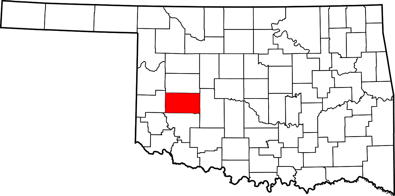
English: This is a locator map showing Washita County in Oklahoma. For more information, see Commons:United States county locator maps. |
| Date | |
| Source |
Own work: English: The maps use data from nationalatlas.gov, specifically countyp020.tar.gz on the Raw Data Download page. The maps also use state outline data from statesp020.tar.gz. The Florida maps use hydrogm020.tar.gz to display Lake Okeechobee. |
| Author | David Benbennick |
Licensing
| I, the copyright holder of this work, release this work into the public domain. This applies worldwide. In some countries this may not be legally possible; if so: I grant anyone the right to use this work for any purpose, without any conditions, unless such conditions are required by law. |
File history
Click on a date/time to view the file as it appeared at that time.
| Date/Time | Thumbnail | Dimensions | User | Comment | |
|---|---|---|---|---|---|
| current | 16:15, 12 February 2006 | | 7,730 × 3,832 (57 KB) | David Benbennick | {{subst:User:Dbenbenn/clm|county=Washita County|state=Oklahoma|type=county}} |
File usage
The following 2 pages use this file:
Global file usage
The following other wikis use this file:
- Usage on ar.wikipedia.org
- Usage on bg.wikipedia.org
- Usage on bpy.wikipedia.org
- Usage on ca.wikipedia.org
- Usage on cdo.wikipedia.org
- Usage on ceb.wikipedia.org
- Usage on cy.wikipedia.org
- Usage on de.wikipedia.org
- Usage on en.wikipedia.org
- List of counties in Oklahoma
- Washita County, Oklahoma
- Bessie, Oklahoma
- Burns Flat, Oklahoma
- Canute, Oklahoma
- Colony, Oklahoma
- Corn, Oklahoma
- Dill City, Oklahoma
- Foss, Oklahoma
- New Cordell, Oklahoma
- Rocky, Oklahoma
- Sentinel, Oklahoma
- Clinton, Oklahoma
- Cloud Chief, Oklahoma
- Port, Oklahoma
- Retrop, Oklahoma
- McLemore Site
- Template:Washita County, Oklahoma
- User:Nyttend/County templates/OK
- National Register of Historic Places listings in Washita County, Oklahoma
- Category:Populated places in Washita County, Oklahoma
- Canute Service Station
- Washita County Courthouse
- New Cordell Courthouse Square Historic District
- Cordell Carnegie Public Library
- Cedar Creek District
- Template:NRHP in Washita County, Oklahoma
View more global usage of this file.