Khyber Pass
mountain pass connecting Afghanistan and Pakistan
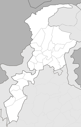
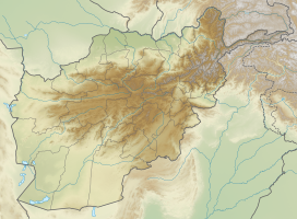
The Khyber Pass (also called the Khaiber Pass or Khaybar Pass) (Urdu: Ø¯Ø±Û Ø®ÛŒØ¨Ø±) is a pass between Pakistan and Afghanistan; National Border Pass (International). It is the National Pass of Pakistan, and connects the frontiers of Khyber Pakhtunkhwa, Pakistan, to Afghanistan.
| Khyber Pass د خیبر درہ درۂ خیبر | |
|---|---|
 The pass connects Landi Kotal to the Valley of Peshawar. | |
| Elevation | 1,070 m (3,510 ft) |
| Traversed by | |
| Location | Between Landi Kotal and Jamrud |
| Range | Spīn Ghar (Safēd Kōh) |
| Coordinates | 34°04′33″N 71°12′14″E / 34.07570°N 71.20394°E |
Throughout history it has been an important trade route between Central Asia and South Asia, and a strategic military pass. The actual summit of the pass is 5 kilometers inside Pakistan at Landi Kotal. The pass cuts through the Safed Koh mountains which are a far southeastern extension of the Hindu Kush range.the height of the khyber pass is 1,070m and width is 140m.
The area around the Pass is inhabited by a number of Pashtun tribes, especially the Afridis.
Things to see around Khyber Pass[1] change
- Michni Post at the Pak-Afghan border
- Landikotal FC Mess
- Torkham Car Market
- Haji Ayub Afridi Compound
- Ali Masjid Fort
- Sphola Stupa
- Shagai Fort
- Khyber Steam Safari
References change
- ↑ WIK (2023-06-07). "Living the Legends of Khyber Pass, Pakistan". How 2 Have Fun. Retrieved 2023-06-14.


