File:Aberdeenshire UK location map.svg

Size of this PNG preview of this SVG file: 682 × 600 pixels. Other resolutions: 273 × 240 pixels | 546 × 480 pixels | 873 × 768 pixels | 1,165 × 1,024 pixels | 2,329 × 2,048 pixels | 1,425 × 1,253 pixels.
Original file (SVG file, nominally 1,425 × 1,253 pixels, file size: 1.84 MB)
| This is a file from the Wikimedia Commons. Information from its description page there is shown below. Commons is a freely licensed media file repository. You can help. |
| Description |
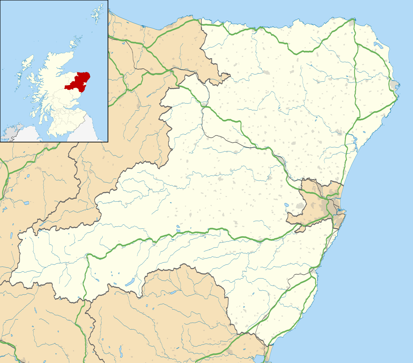
Blank map of Aberdeenshire, UK with the following information shown:
Equirectangular map projection on WGS 84 datum, with N/S stretched 180% Geographic limits:
|
| Date | |
| Source |
|
| Author | Nilfanion, created using Ordnance Survey data |
| Permission (Reusing this file) |
This file is licensed under the Creative Commons Attribution-Share Alike 3.0 Unported license. Attribution: Contains Ordnance Survey data © Crown copyright and database right
|
| Other versions | File:Aberdeenshire UK blank map.svg - Blank map |
File history
Click on a date/time to view the file as it appeared at that time.
| Date/Time | Thumbnail | Dimensions | User | Comment | |
|---|---|---|---|---|---|
| current | 19:59, 26 September 2010 | | 1,425 × 1,253 (1.84 MB) | Nilfanion | {{Information |Description=Blank map of Aberdeenshire, UK with the following information shown: *Administrative borders *Coastline, lakes and rivers *Roads and railways *Urban areas Equirectangular map projection on WGS 84 datum, with |
File usage
The following 7 pages use this file:
Global file usage
The following other wikis use this file:
- Usage on ar.wikipedia.org
- Usage on az.wikipedia.org
- Usage on ba.wikipedia.org
- Usage on bg.wikipedia.org
- Usage on ceb.wikipedia.org
- Usage on de.wikipedia.org
- Usage on en.wikipedia.org
- Aberdeenshire
- Balmoral Castle
- List of monastic houses in Scotland
- Stonehaven
- Fraserburgh
- Battle of Lumphanan
- Huntly
- Portsoy
- Inverurie
- Banchory
- Ballater
- Bellabeg
- Dunnottar Castle
- Braemar Castle
- Drum Castle
- Crathes Castle
- Kildrummy Castle
- Huntly Castle
- New Slains Castle
- Westhill, Aberdeenshire
- Rosehearty
- Braemar
- RAF Buchan
- Fettercairn
- Tarland
- Ellon, Aberdeenshire
- Aboyne
- Aberchirder
- Newburgh, Aberdeenshire
- Cruden Bay
- Turriff
- Fyvie
- Alford, Aberdeenshire
- Kintore, Aberdeenshire
View more global usage of this file.