File:Banded iron formation Dales Gorge.jpg

Size of this preview: 800 × 531 pixels. Other resolutions: 320 × 213 pixels | 640 × 425 pixels | 1,024 × 680 pixels | 1,280 × 850 pixels | 2,560 × 1,700 pixels | 4,288 × 2,848 pixels.
Original file (4,288 × 2,848 pixels, file size: 2.51 MB, MIME type: image/jpeg)
| This is a file from the Wikimedia Commons. Information from its description page there is shown below. Commons is a freely licensed media file repository. You can help. |
Summary
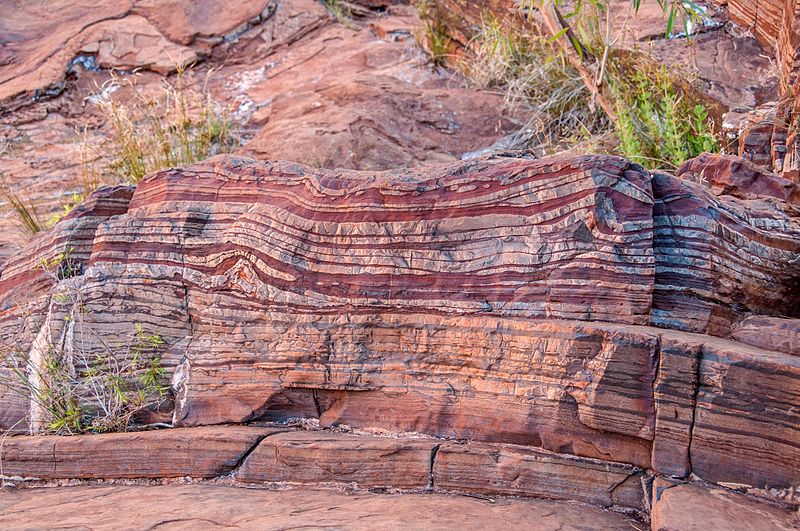
| Description | Banded Iron Formation at the Fortescue Falls |
| Date | |
| Source |
|
| Author | Graeme Churchard from Bristol, UK |
| Camera location | | View this and other nearby images on: OpenStreetMap |
|---|
Licensing
This file is licensed under the Creative Commons Attribution 2.0 Generic license.
- You are free:
- to share – to copy, distribute and transmit the work
- to remix – to adapt the work
- Under the following conditions:
- attribution – You must give appropriate credit, provide a link to the license, and indicate if changes were made. You may do so in any reasonable manner, but not in any way that suggests the licensor endorses you or your use.
| This image, originally posted to Flickr, was reviewed on 30 January 2014 by the administrator or reviewer File Upload Bot (Magnus Manske), who confirmed that it was available on Flickr under the stated license on that date. |
File history
Click on a date/time to view the file as it appeared at that time.
| Date/Time | Thumbnail | Dimensions | User | Comment | |
|---|---|---|---|---|---|
| current | 15:52, 30 January 2014 | | 4,288 × 2,848 (2.51 MB) | File Upload Bot (Magnus Manske) | Transferred from Flickr by User:PDTillman |
File usage
The following page uses this file:
Global file usage
The following other wikis use this file:
- Usage on ar.wikipedia.org
- Usage on de.wikipedia.org
- Usage on en.wikipedia.org
- Usage on en.wikiversity.org
- Usage on eu.wikipedia.org
- Usage on fa.wikipedia.org
- Usage on frr.wikipedia.org
- Usage on fr.wikipedia.org
- Usage on he.wikipedia.org
- Usage on hi.wikipedia.org
- Usage on id.wikipedia.org
- Usage on kw.wikipedia.org
- Usage on mk.wikipedia.org
- Usage on ms.wikipedia.org
- Usage on nl.wikipedia.org
- Usage on pl.wikipedia.org
- Usage on pt.wikipedia.org
- Usage on ro.wikipedia.org
- Usage on sr.wikipedia.org
- Usage on th.wikipedia.org
- Usage on tr.wikipedia.org
- Usage on www.wikidata.org
- Usage on zh.wikipedia.org