File:Bavaria relief location map.jpg

Size of this preview: 608 × 600 pixels. Other resolutions: 243 × 240 pixels | 487 × 480 pixels | 779 × 768 pixels | 1,038 × 1,024 pixels | 1,695 × 1,672 pixels.
Original file (1,695 × 1,672 pixels, file size: 1.14 MB, MIME type: image/jpeg)
| This is a file from the Wikimedia Commons. Information from its description page there is shown below. Commons is a freely licensed media file repository. You can help. |
Summary
| Description |
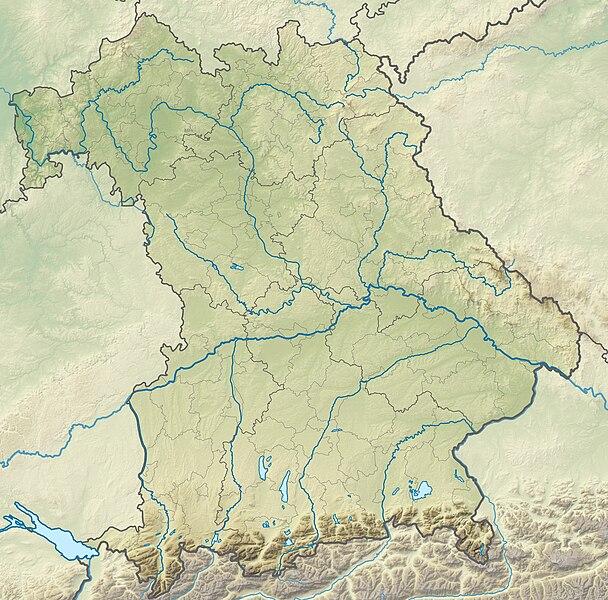
Deutsch: Physische Positionskarte Bayern, Deutschland. Geographische Begrenzung der Karte:
English: Physical Location map Bavaria, Germany. Geographic limits of the map:
|
| Date | |
| Source |
Own work |
| Author | Grundkarte TUBS, Relief Alexrk2 |
| Other versions |
|

Licensing
I, the copyright holder of this work, hereby publish it under the following licenses:

|
Permission is granted to copy, distribute and/or modify this document under the terms of the GNU Free Documentation License, Version 1.2 or any later version published by the Free Software Foundation; with no Invariant Sections, no Front-Cover Texts, and no Back-Cover Texts. A copy of the license is included in the section entitled GNU Free Documentation License. |
This file is licensed under the Creative Commons Attribution-Share Alike 3.0 Unported, 2.5 Generic, 2.0 Generic and 1.0 Generic license.
- You are free:
- to share – to copy, distribute and transmit the work
- to remix – to adapt the work
- Under the following conditions:
- attribution – You must give appropriate credit, provide a link to the license, and indicate if changes were made. You may do so in any reasonable manner, but not in any way that suggests the licensor endorses you or your use.
- share alike – If you remix, transform, or build upon the material, you must distribute your contributions under the same or compatible license as the original.
You may select the license of your choice.
File history
Click on a date/time to view the file as it appeared at that time.
| Date/Time | Thumbnail | Dimensions | User | Comment | |
|---|---|---|---|---|---|
| current | 12:17, 19 November 2009 | | 1,695 × 1,672 (1.14 MB) | Alexrk2 | == {{int:filedesc}} == {{Information |Description= {{de|Physische Positionskarte Bayern, Deutschland. Geographische Begrenzung der Karte:}} {{en|Physical Location map Bavaria, Germany. Geographic limits of the map:}} * N: |
File usage
The following 5 pages use this file:
Global file usage
The following other wikis use this file:
- Usage on als.wikipedia.org
- Usage on an.wikipedia.org
- Chiemsee
- Tüttensee
- Río Traun (Bavera)
- Rote Traun
- Hochfelln
- Hochgern
- Achental (Bavera)
- Watzmann
- Waginger See
- Río Itz
- Königssee
- Ammersee
- Río Ammer
- Laco de Starnberg
- Eibsee
- Tegernsee (laco)
- Pilsensee
- Wörthsee (laco)
- Weßlinger See
- Feringasee
- Walchensee
- Egglburger See
- Lacos de Seeon
- Unterschleißheimer See
- Unterföhringer See
- Zugspitze
- Kochelsee
- Hoher Peißenberg
- Sylvensteinspeicher
- Río Würm
- Großer Brombachsee
- Schliersee (laco)
- Spitzingsee
- Wendelstein
- Altmühlsee
- Glaciar de Blaueis
- Río Lech
- Usage on ar.wikipedia.org
- Usage on ast.wikipedia.org
View more global usage of this file.