File:Bosnia and Hercegovina map without streets.png

Size of this preview: 477 × 599 pixels. Other resolutions: 191 × 240 pixels | 382 × 480 pixels | 612 × 768 pixels | 815 × 1,024 pixels | 2,348 × 2,948 pixels.
Original file (2,348 × 2,948 pixels, file size: 1.16 MB, MIME type: image/png)
| This is a file from the Wikimedia Commons. Information from its description page there is shown below. Commons is a freely licensed media file repository. You can help. |
| Description |
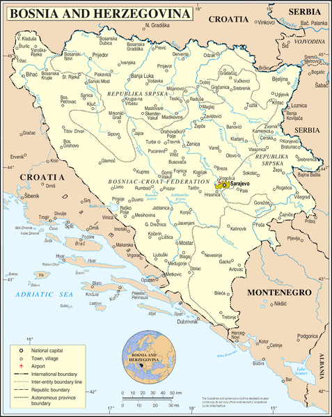
Deutsch: Bosnien und Herzegowina ohne Straßen und Eisenbahnlinien. Ortsnamen entsprechen dem Stand von vor 1993
English: Bosnia and Herzegovina without streets and railways. Names of towns as before 1993 |
| Date | 2 March 2009 (upload date) |
| Source |
self-made, using
|
| Author | NordNordWest |

|
This map has been made or improved in the German Kartenwerkstatt (Map Lab). You can propose maps to improve as well.
|
Licensing
| I, the copyright holder of this work, release this work into the public domain. This applies worldwide. In some countries this may not be legally possible; if so: I grant anyone the right to use this work for any purpose, without any conditions, unless such conditions are required by law. |
File history
Click on a date/time to view the file as it appeared at that time.
| Date/Time | Thumbnail | Dimensions | User | Comment | |
|---|---|---|---|---|---|
| current | 12:01, 2 March 2009 | | 2,348 × 2,948 (1.16 MB) | NordNordWest | {{Information |Description={{de|Bosnien und Herzegowina ohne Straßen und Eisenbahnlinien}} {{en|Bosnia and Herzegovina without streets and railways}} |Source=self-made, using * file:Bosnia and Hercegovina map.png by The Cartographic Section of the U |
File usage
The following page uses this file:
Global file usage
The following other wikis use this file:
- Usage on ca.wikipedia.org
- Usage on de.wikipedia.org
- Usage on en.wikipedia.org
- Usage on fr.wikipedia.org
- Usage on hy.wikipedia.org
- Usage on ru.wikipedia.org
- Usage on tr.wikipedia.org
- Usage on uk.wikipedia.org