File:Brazil State Goias.svg

Size of this PNG preview of this SVG file: 613 × 600 pixels. Other resolutions: 245 × 240 pixels | 490 × 480 pixels | 785 × 768 pixels | 1,046 × 1,024 pixels | 2,093 × 2,048 pixels | 702 × 687 pixels.
Original file (SVG file, nominally 702 × 687 pixels, file size: 676 KB)
| This is a file from the Wikimedia Commons. Information from its description page there is shown below. Commons is a freely licensed media file repository. You can help. |

|
Standardization of derivative maps
Feel free to create derivations of this work, but if you want to illustrate a Wikipedia article with derivative works of this or similar maps of Brazil, please strictly follow the visual standard, nomenclature and classification already in use. All maps of Brazilian subdivisions are being adaptated or created in this way. We do not want to inhibit creativity but the pattern adopted here was presented and accepted by the Lusophone community and should be followed whenever possible. |
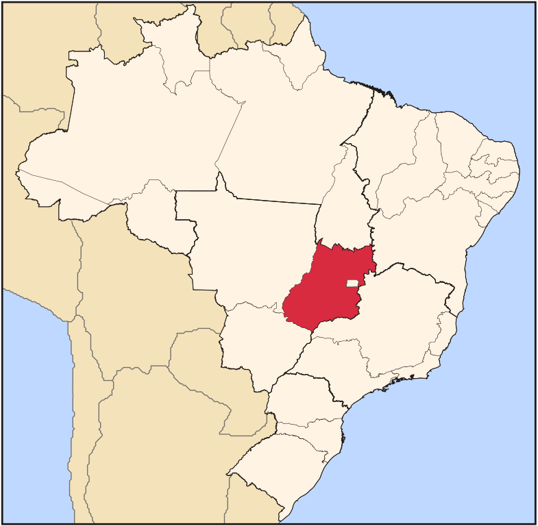
| Description | Map locator of Brazil's Goiás state | ||||||||
| Date | |||||||||
| Source | Own work | ||||||||
| Author | Raphael Lorenzeto de Abreu | ||||||||
| Permission (Reusing this file) |
I, the copyright holder of this work, hereby publish it under the following licenses:
This file is licensed under the Creative Commons Attribution 2.5 Generic license.
You may select the license of your choice. |

File history
Click on a date/time to view the file as it appeared at that time.
| Date/Time | Thumbnail | Dimensions | User | Comment | |
|---|---|---|---|---|---|
| current | 03:12, 3 June 2006 | | 702 × 687 (676 KB) | Raphael.lorenzeto | |
| 02:56, 22 April 2006 |  | 702 × 687 (448 KB) | Raphael.lorenzeto | {{Information| |Description=Map locator of Brazil's Goiás state |Source=own work |Date=April, 21 2006 |Author=Raphael Lorenzeto de Abreu |Permission={{self2|GFDL|cc-by-2.5}} |other_versions= }} Category:Maps of Brazil |
File usage
The following page uses this file:
Global file usage
The following other wikis use this file:
- Usage on af.wikipedia.org
- Usage on an.wikipedia.org
- Usage on ar.wikipedia.org
- Usage on arz.wikipedia.org
- Usage on be-tarask.wikipedia.org
- Usage on be.wikipedia.org
- Usage on bg.wikipedia.org
- Usage on bpy.wikipedia.org
- Usage on da.wikipedia.org
- Usage on de.wikipedia.org
- Usage on dz.wikipedia.org
- Usage on en.wikipedia.org
- Anápolis
- Goiás, Goiás
- São Luís de Montes Belos
- Vianópolis
- Caldas Novas
- Abadiânia
- Catalão
- Rio Quente
- Alexânia
- Alto Paraíso de Goiás
- Ipameri
- Cidade Ocidental
- Itumbiara
- Minaçu
- Cavalcante
- Teresina de Goiás
- Paraúna
- Cabeceiras
- Posse, Goiás
- Leopoldo de Bulhões
- Mozarlândia
- Flores de Goiás
- Santo Antônio do Descoberto
- Orizona
- Military Police of Goiás State
- Pires do Rio
- Jussara
- Senador Canedo
- Alvorada do Norte
- Cocalzinho de Goiás
View more global usage of this file.