File:Chur 2008 (1).jpg
No higher resolution available.
Chur_2008_(1).jpg (640 × 480 pixels, file size: 161 KB, MIME type: image/jpeg)
| This is a file from the Wikimedia Commons. Information from its description page there is shown below. Commons is a freely licensed media file repository. You can help. |
.jpg)
Summary
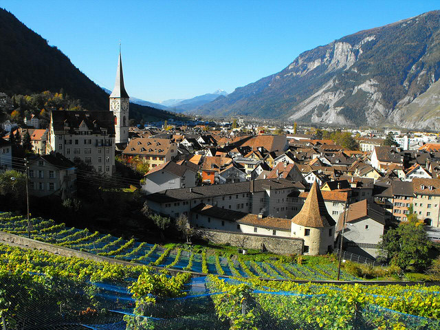
| Description | Chur, Switzerland |
| Date | |
| Source | Chur 2008 |
| Author | Bartosz Makara from Nordenham, Germany / Deutschland |
| Camera location | | View this and other nearby images on: OpenStreetMap |
|---|
.jpg¶ms=046.849167_N_0009.536465_E_globe:Earth_type:camera_source:Flickr_&language=en)
Licensing
This file is licensed under the Creative Commons Attribution 2.0 Generic license.
- You are free:
- to share – to copy, distribute and transmit the work
- to remix – to adapt the work
- Under the following conditions:
- attribution – You must give appropriate credit, provide a link to the license, and indicate if changes were made. You may do so in any reasonable manner, but not in any way that suggests the licensor endorses you or your use.
| This image, originally posted to Flickr, was reviewed on January 16, 2011 by the administrator or reviewer File Upload Bot (Magnus Manske), who confirmed that it was available on Flickr under the stated license on that date. |
File history
Click on a date/time to view the file as it appeared at that time.
| Date/Time | Thumbnail | Dimensions | User | Comment | |
|---|---|---|---|---|---|
| current | 16:16, 16 January 2011 | | 640 × 480 (161 KB) | File Upload Bot (Magnus Manske) | {{Information |Description=You like this photo? Just take it – it’s provided under the creative commons license. |Source=[http://www.flickr.com/photos/blumblaum/3619643933/ Chur 2008] * Uploaded by AndreasPraefcke |Date=2008-1 |
File usage
The following page uses this file:
Global file usage
The following other wikis use this file:
- Usage on be-tarask.wikipedia.org
- Usage on de.wikivoyage.org
- Usage on dsb.wikipedia.org
- Usage on el.wikipedia.org
- Usage on es.wikipedia.org
- Usage on ja.wikipedia.org
- Usage on lv.wikipedia.org
- Usage on pl.wikipedia.org
- Usage on pl.wikivoyage.org
- Usage on pl.wiktionary.org
- Usage on pt.wikipedia.org
- Usage on sh.wikipedia.org
- Usage on sk.wikipedia.org
- Usage on szl.wikipedia.org
- Usage on th.wikipedia.org
- Usage on tr.wikipedia.org
- Usage on ur.wikipedia.org
- Usage on zh.wikipedia.org
.jpg)