File:Cuba Provinces base.png

Size of this preview: 800 × 306 pixels. Other resolutions: 320 × 123 pixels | 1,068 × 409 pixels.
Original file (1,068 × 409 pixels, file size: 204 KB, MIME type: image/png)
| This is a file from the Wikimedia Commons. Information from its description page there is shown below. Commons is a freely licensed media file repository. You can help. |
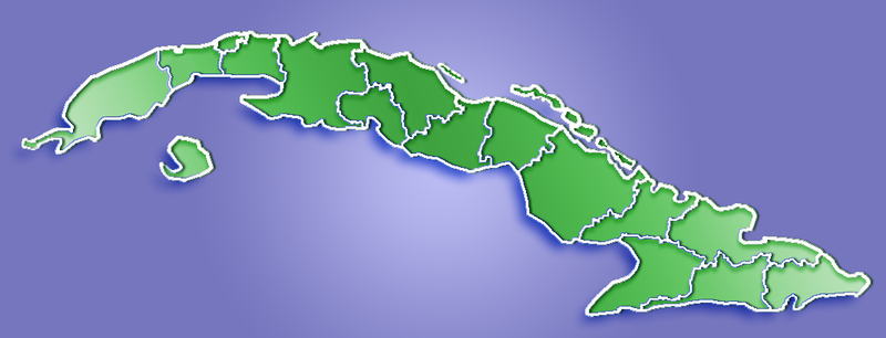
Summary
| Description | Provinces of Cuba (1976-2010) |
| Date | 16 March 2006 (original upload date) |
| Source | No machine-readable source provided. Own work assumed (based on copyright claims). |
| Author | No machine-readable author provided. Qyd assumed (based on copyright claims). |
Licensing
| I, the copyright holder of this work, release this work into the public domain. This applies worldwide. In some countries this may not be legally possible; if so: I grant anyone the right to use this work for any purpose, without any conditions, unless such conditions are required by law. |
File history
Click on a date/time to view the file as it appeared at that time.
| Date/Time | Thumbnail | Dimensions | User | Comment | |
|---|---|---|---|---|---|
| current | 23:47, 19 March 2013 | 1,068 × 409 (204 KB) | DerBorg | updated map (Bahia Honda, Candelaria and San Cristobal to new Artemisa Province, from Pinar del Rio, in 2011) | |
| 00:46, 6 February 2013 | 1,068 × 409 (205 KB) | DerBorg | updated map (added the division of the former Havana Province into Artemisa and Mayabeque -after Jan. 2011-) | ||
| 06:51, 23 May 2006 | 1,068 × 409 (179 KB) | Qyd | |||
| 23:35, 16 March 2006 | 1,068 × 409 (20 KB) | Qyd | Provinces of Cuba Category:Maps of Cuba |
File usage
The following 2 pages use this file:
Global file usage
The following other wikis use this file:
- Usage on bs.wikipedia.org
- Usage on ceb.wikipedia.org
- Usage on ckb.wikipedia.org
- Usage on da.wikipedia.org
- Usage on en.wikipedia.org
- Usage on fa.wikipedia.org
- Usage on kn.wikipedia.org
- Usage on ku.wikipedia.org
- Usage on or.wikipedia.org
- Usage on pt.wikipedia.org
- Usage on tg.wikipedia.org
- Usage on th.wikipedia.org
- Usage on tr.wikipedia.org
- Usage on uk.wikipedia.org
- Usage on ur.wikipedia.org
- Usage on vi.wikipedia.org
View more global usage of this file.