File:Democratic Republic of Georgia 1920.svg

Size of this PNG preview of this SVG file: 800 × 545 pixels. Other resolutions: 320 × 218 pixels | 640 × 436 pixels | 1,024 × 697 pixels | 1,280 × 871 pixels | 2,560 × 1,742 pixels | 930 × 633 pixels.
Original file (SVG file, nominally 930 × 633 pixels, file size: 843 KB)
| This is a file from the Wikimedia Commons. Information from its description page there is shown below. Commons is a freely licensed media file repository. You can help. |
Summary
| Description |
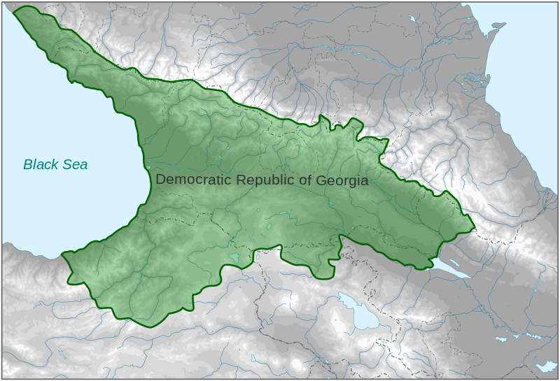
English: Map of Democratic Republic of Georgia in 1920
|
||||||||||||||||||||||||||
| Date | |||||||||||||||||||||||||||
| Source |
Own work based on: ✦ Carte de la Georgie, 1920.jpg by V. Babet ✦ Kingdom of Georgia after dissolution as a unified state, 1490 AD.svg by Goran tek-en |
||||||||||||||||||||||||||
| Author | Goran tek-en | ||||||||||||||||||||||||||
| Permission (Reusing this file) |
This file is licensed under the Creative Commons Attribution-Share Alike 4.0 International license. Attribution: Goran tek-en
|
||||||||||||||||||||||||||
| Other versions |
|
||||||||||||||||||||||||||
| SVG development | This vector image was created with Inkscape. |
||||||||||||||||||||||||||

| Object location | | View this and other nearby images on: OpenStreetMap |
|---|


File history
Click on a date/time to view the file as it appeared at that time.
| Date/Time | Thumbnail | Dimensions | User | Comment | |
|---|---|---|---|---|---|
| current | 18:07, 18 November 2021 | | 930 × 633 (843 KB) | Goran tek-en | ppi to 96, optimized |
| 18:23, 4 February 2014 |  | 930 × 633 (1.11 MB) | Goran tek-en | User created page with UploadWizard |
File usage
The following page uses this file:
Global file usage
The following other wikis use this file:
- Usage on azb.wikipedia.org
- Usage on cs.wikipedia.org
- Usage on en.wikipedia.org
- Usage on es.wikipedia.org
- Usage on et.wikipedia.org
- Usage on hu.wikipedia.org
- Usage on it.wikipedia.org
- Usage on ja.wikipedia.org
- Usage on ko.wikipedia.org
- Usage on lv.wikipedia.org
- Usage on mt.wikipedia.org
- Usage on nl.wikipedia.org
- Usage on pt.wikipedia.org
- Usage on th.wikipedia.org
- Usage on vi.wikipedia.org
- Usage on zh.wikipedia.org