File:Devils Tower 18A.JPG
Size of this preview: 800 × 533 pixels. Other resolutions: 320 × 213 pixels | 640 × 427 pixels | 849 × 566 pixels.
Original file (849 × 566 pixels, file size: 273 KB, MIME type: image/jpeg)
| This is a file from the Wikimedia Commons. Information from its description page there is shown below. Commons is a freely licensed media file repository. You can help. |
Summary
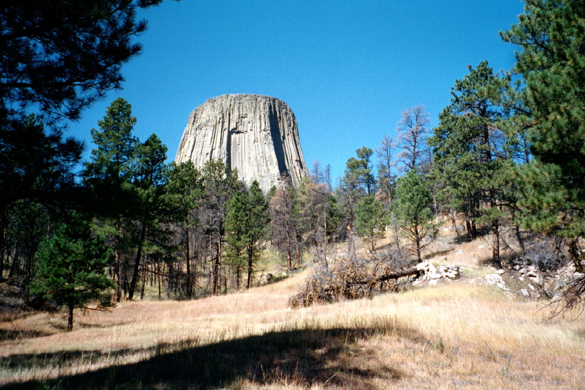
Devils Tower
- Description: Pinus ponderosa forest with Devils Tower behind
- Viewpoint location: Red Beds Trail near junction with Valley View Trail (location error along trail 500 meters), Devils Tower National Monument
- Lat/Long: 44.5887°N, 104.7055°W (WGS84/NAD83) USGS Devils Tower Quad [1]
- Viewpoint elevation: 3900 ft.
- View direction: West
- Date and time: 2000.09.09 late morning
- Camera: Olympus 35 mm film
- Photographer: Walter Siegmund
| Camera location | | View this and other nearby images on: OpenStreetMap |
|---|
©2005 Walter Siegmund
Licensing
I, the copyright holder of this work, hereby publish it under the following licenses:

|
Permission is granted to copy, distribute and/or modify this document under the terms of the GNU Free Documentation License, Version 1.2 or any later version published by the Free Software Foundation; with no Invariant Sections, no Front-Cover Texts, and no Back-Cover Texts. A copy of the license is included in the section entitled GNU Free Documentation License. |
| This file is licensed under the Creative Commons Attribution-Share Alike 3.0 Unported license. | ||
| ||
| This licensing tag was added to this file as part of the GFDL licensing update. |
This file is licensed under the Creative Commons Attribution 2.5 Generic license.
- You are free:
- to share – to copy, distribute and transmit the work
- to remix – to adapt the work
- Under the following conditions:
- attribution – You must give appropriate credit, provide a link to the license, and indicate if changes were made. You may do so in any reasonable manner, but not in any way that suggests the licensor endorses you or your use.
You may select the license of your choice.
File history
Click on a date/time to view the file as it appeared at that time.
| Date/Time | Thumbnail | Dimensions | User | Comment | |
|---|---|---|---|---|---|
| current | 02:11, 16 November 2005 | | 849 × 566 (273 KB) | Wsiegmund | '''Devils Tower''' * '''Description:''' Pinus ponderosa forest with Devils Tower behind * '''Viewpoint location:''' Red Beds Trail near junction with Valley View Trail (location error along trail 500 meters), Devils Tower National Monument * '''La |
File usage
The following page uses this file:
Global file usage
The following other wikis use this file:
- Usage on fa.wikipedia.org
- Usage on fi.wikipedia.org
- Usage on fr.wikipedia.org
- Usage on lt.wikipedia.org
- Usage on test2.wikipedia.org