File:Granville, Indiana Cemetery Marker.png
Size of this preview: 800 × 600 pixels. Other resolutions: 320 × 240 pixels | 640 × 480 pixels | 1,024 × 768 pixels | 1,280 × 960 pixels | 1,600 × 1,200 pixels.
Original file (1,600 × 1,200 pixels, file size: 3.67 MB, MIME type: image/png)
| This is a file from the Wikimedia Commons. Information from its description page there is shown below. Commons is a freely licensed media file repository. You can help. |
Summary
| Camera location | | View this and other nearby images on: OpenStreetMap |
|---|
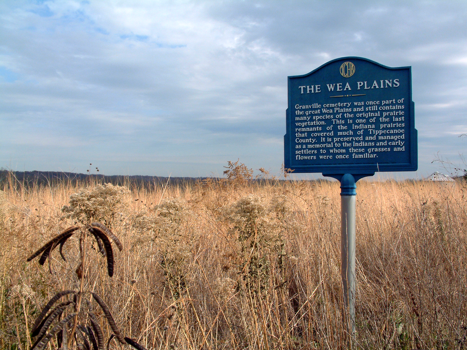
| Description | The Tippecanoe County Historical Association marker at Granville Cemetery, southwest of the city of West Lafayette, Indiana. |
| Date | |
| Source | Self-photographed |
| Author | Huw Williams (Huwmanbeing) |
| Permission (Reusing this file) |
I release this photo into the public domain |
Licensing
| I, the copyright holder of this work, release this work into the public domain. This applies worldwide. In some countries this may not be legally possible; if so: I grant anyone the right to use this work for any purpose, without any conditions, unless such conditions are required by law. |
File history
Click on a date/time to view the file as it appeared at that time.
| Date/Time | Thumbnail | Dimensions | User | Comment | |
|---|---|---|---|---|---|
| current | 02:23, 6 November 2006 | | 1,600 × 1,200 (3.67 MB) | Huwmanbeing | {{Information |Description = The Tippecanoe County Historical Association marker at Granville Cemetery, southwest of the city of West Lafayette, Indiana. |Source = Own photo |Date = 2006-11-05 |Author = Huw Williams (Huwmanbeing) |Per |
File usage
The following page uses this file:
Global file usage
The following other wikis use this file:
- Usage on en.wikipedia.org
- Usage on es.wikipedia.org
- Usage on ja.wikipedia.org
- Usage on ru.wikipedia.org