File:Jacarepaguá.svg

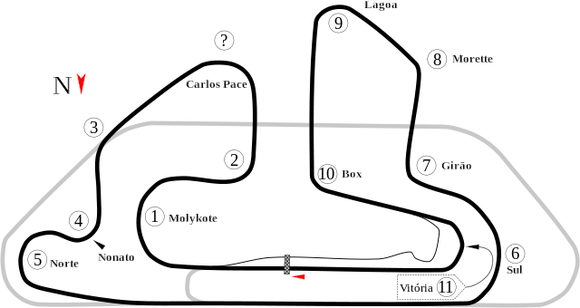
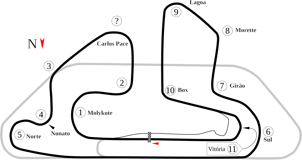
Size of this PNG preview of this SVG file: 800 × 424 pixels. Other resolutions: 320 × 170 pixels | 640 × 340 pixels | 1,024 × 543 pixels | 1,280 × 679 pixels | 2,560 × 1,358 pixels | 1,376 × 730 pixels.
Original file (SVG file, nominally 1,376 × 730 pixels, file size: 41 KB)
| This is a file from the Wikimedia Commons. Information from its description page there is shown below. Commons is a freely licensed media file repository. You can help. |
Summary
| Description |
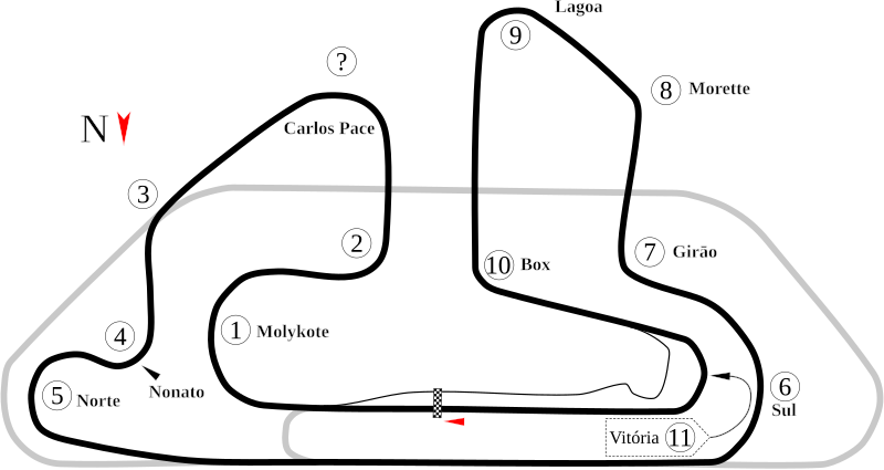
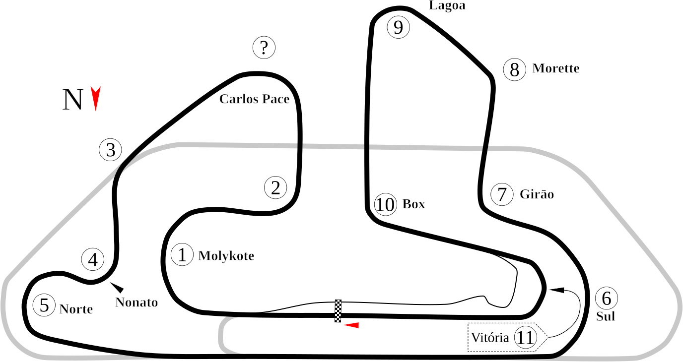
English: Jacarepaguá AKA Autódromo Internacional Nelson Piquet. Note: The old image below shouldn't be deleted as it appears to show a different version of the course. This image shows what was visible in Google Earth as of the creation date. Also, the question mark denotes a turn that wasn't in the old image. Because there was no website for the track (the Wikipedia article lists it as be torn out), the only numbered turns are those in the old image. |
| Date | |
| Source | Own work |
| Author | Will Pittenger |
| Other versions |
|

| Camera location | | View this and other nearby images on: OpenStreetMap |
|---|
Licensing
| I, the copyright holder of this work, release this work into the public domain. This applies worldwide. In some countries this may not be legally possible; if so: I grant anyone the right to use this work for any purpose, without any conditions, unless such conditions are required by law. |
File history
Click on a date/time to view the file as it appeared at that time.
| Date/Time | Thumbnail | Dimensions | User | Comment | |
|---|---|---|---|---|---|
| current | 23:05, 17 July 2008 | | 1,376 × 730 (41 KB) | Will Pittenger | New version adds north indicator that I forgot to add. |
| 06:22, 17 July 2008 |  | 1,376 × 730 (40 KB) | Will Pittenger | {{Information |Description={{en|1=[[]]w:Autódromo Internacional Nelson Piquet.}} |Source=Own work by uploader |Author=Will Pittenger |Date=7-17-2008 |Permission= |other_versions=<gallery>Image:Circuit Jacarepagua.png|Old PNG |
File usage
The following page uses this file:
Global file usage
The following other wikis use this file:
- Usage on af.wikipedia.org
- Usage on ar.wikipedia.org
- حلبة نيلسون بيكيه الدولية
- جائزة ريو دي جانيرو الكبرى للدراجات النارية 1995
- جائزة ريو دي جانيرو الكبرى للدراجات النارية 1996
- جائزة ريو دي جانيرو الكبرى للدراجات النارية 1997
- جائزة ريو دي جانيرو الكبرى للدراجات النارية 1999
- جائزة ريو دي جانيرو الكبرى للدراجات النارية 2000
- جائزة ريو دي جانيرو الكبرى للدراجات النارية 2001
- جائزة ريو دي جانيرو الكبرى للدراجات النارية 2002
- جائزة ريو دي جانيرو الكبرى للدراجات النارية 2003
- جائزة ريو دي جانيرو الكبرى للدراجات النارية 2004
- Usage on ast.wikipedia.org
- Usage on bg.wikipedia.org
- Usage on bn.wikipedia.org
- Usage on bs.wikipedia.org
- Usage on ca.wikipedia.org
- Usage on de.wikipedia.org
- Usage on en.wikipedia.org
- Autódromo Internacional Nelson Piquet
- Rio de Janeiro motorcycle Grand Prix
- User talk:Chubbennaitor/archive2
- User talk:Barkjon/Archive 2
- 2002 Rio de Janeiro motorcycle Grand Prix
- 2003 Rio de Janeiro motorcycle Grand Prix
- 2004 Rio de Janeiro motorcycle Grand Prix
- 1995 Rio de Janeiro motorcycle Grand Prix
- 1996 Rio de Janeiro motorcycle Grand Prix
- Wikipedia:WikiProject Formula One/Newsletter/200808
- User talk:Hellboy2hell/archive2
- User talk:NapHit/Archive 1
- User talk:4u1e/archive5
- List of Grand Prix motorcycle circuits
- User talk:Typ932/Archive 3
- User talk:Midgrid/Archive 6
- 1997 Rio de Janeiro motorcycle Grand Prix
- 1999 Rio de Janeiro motorcycle Grand Prix
- 2000 Rio de Janeiro motorcycle Grand Prix
- User talk:Thelb4/Archive 5
- User talk:Chubbennaitor/Archive7
- User talk:Readro/Archive 3
- User talk:Donnie Park/Archive 1
- User talk:The359/Archive 4
- 2001 Rio de Janeiro motorcycle Grand Prix
- User talk:Cs-wolves/Archive 3
- User talk:Bam123456789/Archive 1
- User talk:Sage Callahan/Archive 1
- User talk:Cdhaptomos/Archive 1
- User talk:Spenalzo/Archive/2008
View more global usage of this file.