File:Kansas Farmland 4891551781.jpg

Size of this preview: 800 × 478 pixels. Other resolutions: 320 × 191 pixels | 640 × 383 pixels | 1,024 × 612 pixels | 1,280 × 765 pixels | 2,560 × 1,530 pixels | 4,055 × 2,424 pixels.
Original file (4,055 × 2,424 pixels, file size: 8.02 MB, MIME type: image/jpeg)
| This is a file from the Wikimedia Commons. Information from its description page there is shown below. Commons is a freely licensed media file repository. You can help. |
Summary
| Description |
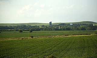
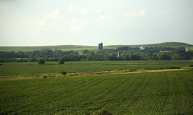
north america, road trip, great plains, kansas, farm | ||
| Address |
|
||
| Date | |||
| Source | Kansas Farmland | ||
| Author | CGP Grey |
| Camera location | | View this and other nearby images on: OpenStreetMap |
|---|
Licensing
This file is licensed under the Creative Commons Attribution 2.0 Generic license.
Attribution: http://www.cgpgrey.com
- You are free:
- to share – to copy, distribute and transmit the work
- to remix – to adapt the work
- Under the following conditions:
- attribution – You must give appropriate credit, provide a link to the license, and indicate if changes were made. You may do so in any reasonable manner, but not in any way that suggests the licensor endorses you or your use.
| This image, originally posted to Flickr, was reviewed on 12 December 2014 by the administrator or reviewer RP88, who confirmed that it was available on Flickr under the stated license on that date. |
File history
Click on a date/time to view the file as it appeared at that time.
| Date/Time | Thumbnail | Dimensions | User | Comment | |
|---|---|---|---|---|---|
| current | 18:16, 12 December 2014 | | 4,055 × 2,424 (8.02 MB) | 1Veertje | =={{int:filedesc}}== {{Information | Description = north america, road trip, great plains, kansas, farm {{Building address | Street name = | House number = | House name = | Postal code = | City =Vera | State = KS | Country = US | Listing = <! |
File usage
The following page uses this file:
Global file usage
The following other wikis use this file: