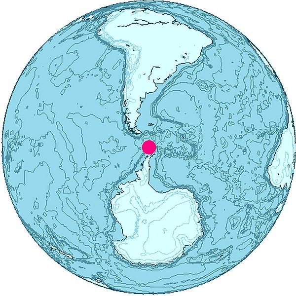
File:Livingston-Location.JPG

Size of this preview: 600 × 600 pixels. Other resolutions: 240 × 240 pixels | 480 × 480 pixels | 872 × 872 pixels.
Original file (872 × 872 pixels, file size: 111 KB, MIME type: image/jpeg)
File history
Click on a date/time to view the file as it appeared at that time.
| Date/Time | Thumbnail | Dimensions | User | Comment | |
|---|---|---|---|---|---|
| current | 11:19, 23 June 2006 |  | 872 × 872 (111 KB) | Apcbg | Location of Livingston Island, South Shetland Islands, Antarctica The map was created with this [http://www.aquarius.geomar.de/omc/ online map creation tool]. {{GFDL}} Category:Antarctica |
File usage
The following page uses this file:
Global file usage
The following other wikis use this file:
- Usage on bg.wikipedia.org
- Usage on ca.wikipedia.org
- Usage on en.wikinews.org
- Usage on eu.wikipedia.org
- Usage on fr.wikipedia.org
- Usage on gl.wikipedia.org
- Usage on lt.wikipedia.org
- Usage on pt.wikipedia.org
- Usage on ru.wikipedia.org
- Usage on sv.wikipedia.org
- Usage on tr.wikipedia.org
- Usage on uk.wikipedia.org
- Usage on www.wikidata.org
