File:Mahoning County Ohio Youngstown highlighted.png
Size of this preview: 800 × 400 pixels. Other resolutions: 320 × 160 pixels | 640 × 320 pixels.
Original file (1,200 × 600 pixels, file size: 87 KB, MIME type: image/png)
| This is a file from the Wikimedia Commons. Information from its description page there is shown below. Commons is a freely licensed media file repository. You can help. |
Summary
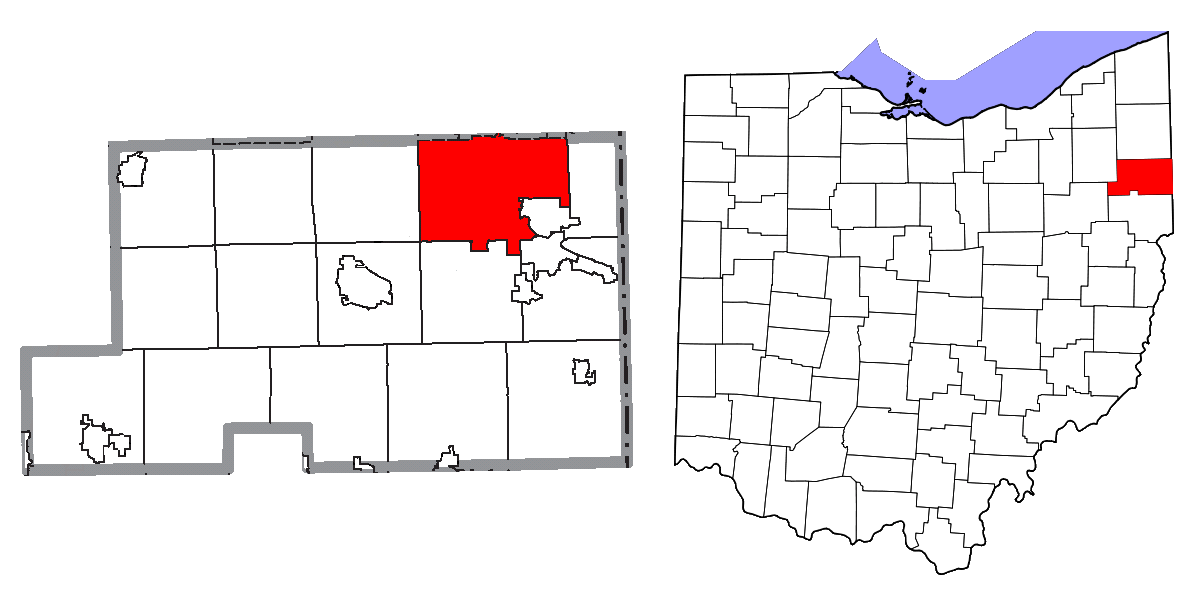
| Description | Map highlighting City of Youngstown, Mahoning and Trumbull Counties, Ohio, United States. |
| Date | |
| Source |
I, Yassie, merged these three files into one. |
| Author | Ruhrfisch, Nyttend, Dbenbenn, and Yassie |
| Permission (Reusing this file) |
Both File:Map of Mahoning County Ohio Highlighting Youngstown City.png and File:Map of Trumbull County Ohio Highlighting Youngstown City.png have been released under CC-BY-SA-3.0 by Nyttend. File:Map of Ohio highlighting Mahoning County.svg has been released into public domain by Dbenbenn. Thus, I hereby release this merged work under CC-BY-SA-3.0 license. |
Licensing
This file is licensed under the Creative Commons Attribution-Share Alike 3.0 Unported license.
- You are free:
- to share – to copy, distribute and transmit the work
- to remix – to adapt the work
- Under the following conditions:
- attribution – You must give appropriate credit, provide a link to the license, and indicate if changes were made. You may do so in any reasonable manner, but not in any way that suggests the licensor endorses you or your use.
- share alike – If you remix, transform, or build upon the material, you must distribute your contributions under the same or compatible license as the original.
File history
Click on a date/time to view the file as it appeared at that time.
| Date/Time | Thumbnail | Dimensions | User | Comment | |
|---|---|---|---|---|---|
| current | 20:09, 23 September 2019 | | 1,200 × 600 (87 KB) | Aftrnd | Updated transparency at correct resolution. |
| 19:52, 23 September 2019 |  | 482 × 228 (49 KB) | Aftrnd | Reverted to version as of 19:49, 23 September 2019 (UTC) | |
| 19:51, 23 September 2019 |  | 1,200 × 600 (38 KB) | Aftrnd | Reverted to version as of 12:16, 23 November 2015 (UTC) | |
| 19:49, 23 September 2019 |  | 482 × 228 (49 KB) | Aftrnd | Made background transparent. | |
| 12:16, 23 November 2015 |  | 1,200 × 600 (38 KB) | Yassie | {{Information |Description= Map highlighting City of Middletown, Butler and Warran Counties, Ohio, United States. |Source= I, Yassie, merged these three files into one. * [[:File:Map of Mahoning County Ohio Highlighting Youngstown City.... |
File usage
There are no pages that use this file.
Global file usage
The following other wikis use this file:
- Usage on azb.wikipedia.org
- Usage on io.wikipedia.org
- Usage on ja.wikipedia.org
- Usage on sco.wikipedia.org
- Usage on tr.wikipedia.org