File:Map of California highlighting Humboldt County.svg

Size of this PNG preview of this SVG file: 521 × 599 pixels. Other resolutions: 209 × 240 pixels | 417 × 480 pixels | 668 × 768 pixels | 891 × 1,024 pixels | 1,781 × 2,048 pixels | 9,164 × 10,536 pixels.
Original file (SVG file, nominally 9,164 × 10,536 pixels, file size: 229 KB)
| This is a file from the Wikimedia Commons. Information from its description page there is shown below. Commons is a freely licensed media file repository. You can help. |
Summary
| Description |
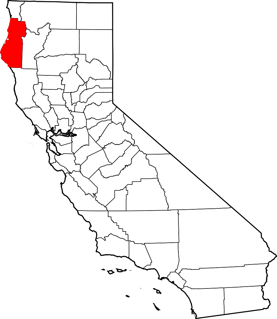
English: This is a locator map showing Humboldt County in California. For more information, see Commons:United States county locator maps. |
| Date | |
| Source |
Own work: English: The maps use data from nationalatlas.gov, specifically countyp020.tar.gz on the Raw Data Download page. The maps also use state outline data from statesp020.tar.gz. The Florida maps use hydrogm020.tar.gz to display Lake Okeechobee. |
| Author | David Benbennick |
Licensing
| I, the copyright holder of this work, release this work into the public domain. This applies worldwide. In some countries this may not be legally possible; if so: I grant anyone the right to use this work for any purpose, without any conditions, unless such conditions are required by law. |
File history
Click on a date/time to view the file as it appeared at that time.
| Date/Time | Thumbnail | Dimensions | User | Comment | |
|---|---|---|---|---|---|
| current | 10:25, 12 February 2006 | | 9,164 × 10,536 (229 KB) | David Benbennick | {{subst:User:Dbenbenn/clm|county=Humboldt County|state=California}} |
File usage
The following 13 pages use this file:
- Arcata, California
- Blue Lake, California
- Eureka, California
- Ferndale, California
- Fortuna, California
- Honeydew, California
- Humboldt County, California
- Humboldt Hill, California
- List of counties in California
- Loleta, California
- Rio Dell, California
- Trinidad, California
- Template:Humboldt County, California
Global file usage
The following other wikis use this file:
- Usage on ar.wikipedia.org
- Usage on azb.wikipedia.org
- Usage on az.wikipedia.org
- Usage on ban.wikipedia.org
- Usage on bg.wikipedia.org
- Usage on bpy.wikipedia.org
- Usage on ca.wikipedia.org
- Hupes
- Arcata
- Bayview (Califòrnia)
- Blue Lake (Califòrnia)
- Cutten
- Eureka (Califòrnia)
- Ferndale (Califòrnia)
- Fortuna (Califòrnia)
- Hydesville
- McKinleyville
- Myrtletown
- Pine Hills
- Redway
- Rio Dell
- Trinidad (Califòrnia)
- Westhaven-Moonstone
- Willow Creek (Califòrnia)
- Llista de comtats de Califòrnia
- Comunitat índia Cher-Ae Heights
- Plantilla:Comtat de Humboldt (Califòrnia)
- Ranxeria Blue Lake
- Ranxeria Rohnerville
- Tribu Wiyot
- Ranxeria Big Lagoon
- Reserva índia Yurok
- Centerville (comtat de Humboldt)
- Usage on ceb.wikipedia.org
- Usage on ce.wikipedia.org
- Usage on ckb.wikipedia.org
- Usage on cs.wikipedia.org
View more global usage of this file.