File:Map of North Dakota highlighting Grand Forks County.svg

Size of this PNG preview of this SVG file: 800 × 476 pixels. Other resolutions: 320 × 191 pixels | 640 × 381 pixels | 1,024 × 610 pixels | 1,280 × 762 pixels | 2,560 × 1,524 pixels | 5,804 × 3,456 pixels.
Original file (SVG file, nominally 5,804 × 3,456 pixels, file size: 56 KB)
| This is a file from the Wikimedia Commons. Information from its description page there is shown below. Commons is a freely licensed media file repository. You can help. |
Summary
| Description |
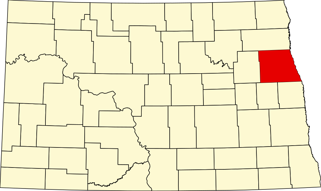
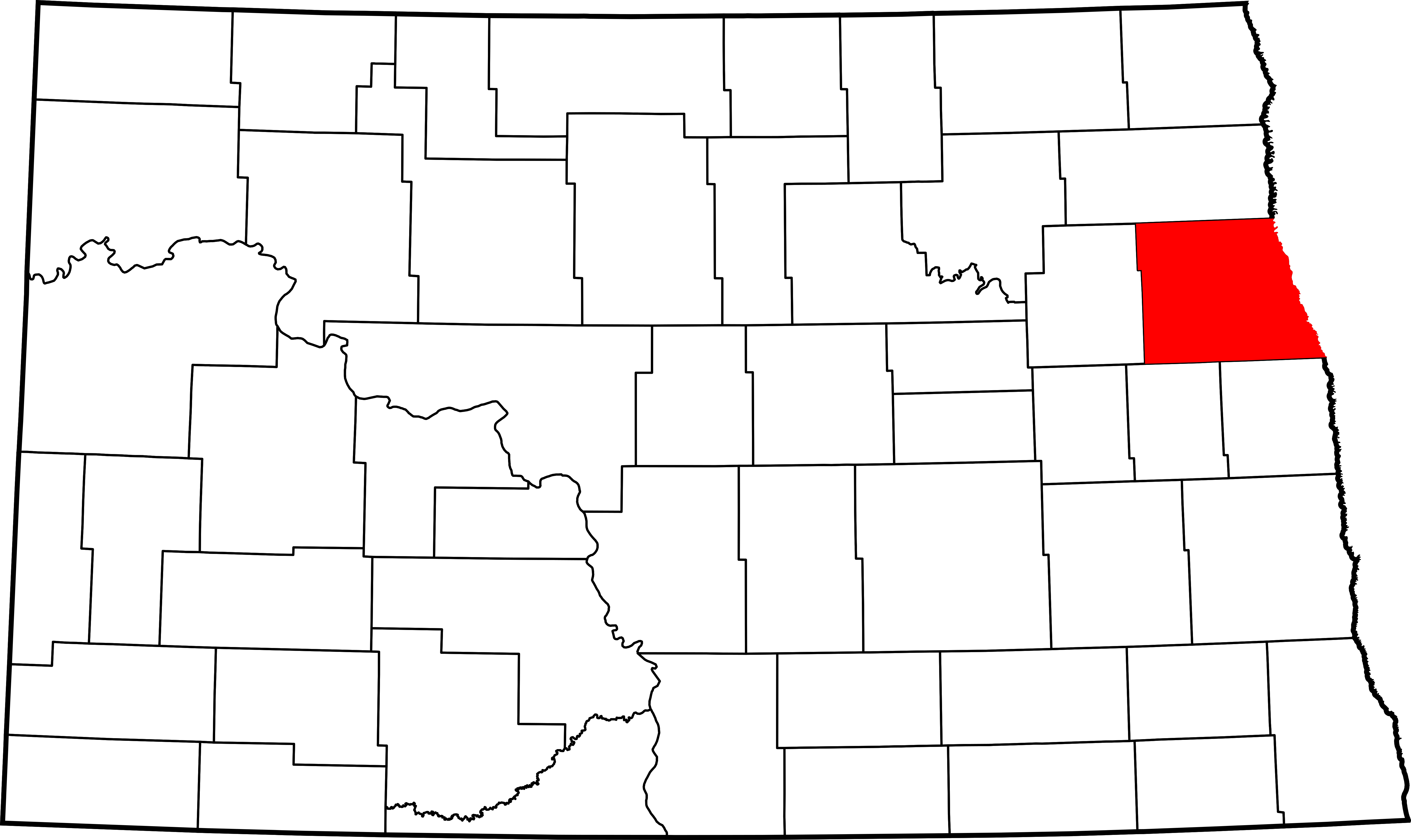
English: This is a locator map showing Grand Forks County in North Dakota. |
| Source | Own work |
| Author | David Benbennick made this map. |
| Camera location | | View this and other nearby images on: OpenStreetMap |
|---|
For more information, see Commons:United States county locator maps.
Licensing
| I, the copyright holder of this work, release this work into the public domain. This applies worldwide. In some countries this may not be legally possible; if so: I grant anyone the right to use this work for any purpose, without any conditions, unless such conditions are required by law. |
File history
Click on a date/time to view the file as it appeared at that time.
| Date/Time | Thumbnail | Dimensions | User | Comment | |
|---|---|---|---|---|---|
| current | 16:04, 12 February 2006 | | 5,804 × 3,456 (56 KB) | David Benbennick | {{subst:User:Dbenbenn/clm|county=Grand Forks County|state=North Dakota|type=county}} |
File usage
The following page uses this file:
Global file usage
The following other wikis use this file:
- Usage on ar.wikipedia.org
- Usage on bg.wikipedia.org
- Usage on bpy.wikipedia.org
- Usage on ca.wikipedia.org
- Usage on cdo.wikipedia.org
- Usage on ceb.wikipedia.org
- Usage on cy.wikipedia.org
- Usage on de.wikipedia.org
- Usage on en.wikipedia.org
- List of counties in North Dakota
- Grand Forks County, North Dakota
- Emerado, North Dakota
- Gilby, North Dakota
- Grand Forks, North Dakota
- Grand Forks Air Force Base
- Inkster, North Dakota
- Larimore, North Dakota
- Manvel, North Dakota
- Niagara, North Dakota
- Northwood, North Dakota
- Thompson, North Dakota
- Reynolds, North Dakota
- Grand Forks Herald
- Agnes Township, Grand Forks County, North Dakota
- North Dakota Mill and Elevator
- Downtown Grand Forks
- Metropolitan Opera House (Grand Forks, North Dakota)
- Sorlie Memorial Bridge
- Template:Grand Forks County, North Dakota
- Arvilla, North Dakota
- Mekinock, North Dakota
View more global usage of this file.