File:Map of the geographic region of Anatolia.png

Size of this preview: 800 × 376 pixels. Other resolutions: 320 × 150 pixels | 640 × 301 pixels | 1,024 × 481 pixels | 1,280 × 601 pixels | 2,560 × 1,203 pixels | 4,929 × 2,316 pixels.
Original file (4,929 × 2,316 pixels, file size: 424 KB, MIME type: image/png)
| This is a file from the Wikimedia Commons. Information from its description page there is shown below. Commons is a freely licensed media file repository. You can help. |
Summary
| Description |
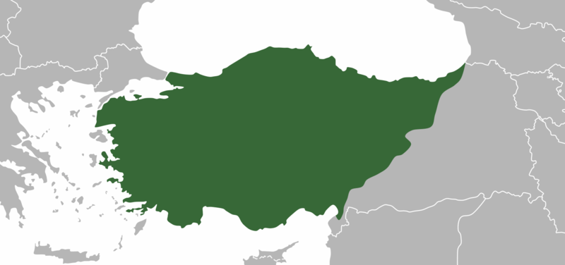
English: Map of the geographic region of Anatolia |
| Date | |
| Source | Eastern border was adapted by File:1907 map of Asia Minor-Atlas of Ancient and Classical Geography by Samuel Butler.jpg |
| Author | Golden |
Licensing
I, the copyright holder of this work, hereby publish it under the following licenses:

|
Permission is granted to copy, distribute and/or modify this document under the terms of the GNU Free Documentation License, Version 1.2 or any later version published by the Free Software Foundation; with no Invariant Sections, no Front-Cover Texts, and no Back-Cover Texts. A copy of the license is included in the section entitled GNU Free Documentation License. |
This file is licensed under the Creative Commons Attribution-Share Alike 4.0 International license.
- You are free:
- to share – to copy, distribute and transmit the work
- to remix – to adapt the work
- Under the following conditions:
- attribution – You must give appropriate credit, provide a link to the license, and indicate if changes were made. You may do so in any reasonable manner, but not in any way that suggests the licensor endorses you or your use.
- share alike – If you remix, transform, or build upon the material, you must distribute your contributions under the same or compatible license as the original.
You may select the license of your choice.
File history
Click on a date/time to view the file as it appeared at that time.
| Date/Time | Thumbnail | Dimensions | User | Comment | |
|---|---|---|---|---|---|
| current | 23:30, 11 November 2020 | | 4,929 × 2,316 (424 KB) | Ercwlff | Internationally recognized borders |
| 16:42, 5 July 2020 |  | 4,929 × 2,316 (411 KB) | Golden | Fixed greek island of Euboea | |
| 14:50, 5 July 2020 |  | 4,929 × 2,316 (411 KB) | Golden | Fixed some greek islands | |
| 07:48, 5 July 2020 |  | 4,929 × 2,316 (410 KB) | Golden | {{subst:Upload marker added by en.wp UW}} {{Information |Description = {{en|Map of the geographic region of Anatolia. The eastern border was adapted from https://commons.wikimedia.org/wiki/File:1907_map_of_Asia_Minor-Atlas_of_Ancient_and_Classical_Geography_by_Samuel_Butler.jpg}} |Source = I used the mobile application Medibang for the map |Date = 2020-07-04 |Author = CuriousGolden }} Category:Maps Category:Anatolia Category:Turkey Category:Geography |
File usage
The following page uses this file:
Global file usage
The following other wikis use this file:
- Usage on ar.wikipedia.org
- Usage on ast.wikipedia.org
- Usage on br.wikipedia.org
- Usage on ca.wikipedia.org
- Usage on diq.wikipedia.org
- Usage on en.wikipedia.org
- Usage on eo.wikipedia.org
- Usage on eu.wikipedia.org
- Usage on ga.wikipedia.org
- Usage on gl.wikipedia.org
- Usage on hu.wikipedia.org
- Usage on ia.wikipedia.org
- Usage on incubator.wikimedia.org
- Usage on kab.wikipedia.org
- Usage on lt.wikipedia.org
- Usage on pnb.wikipedia.org
- Usage on sq.wikipedia.org
- Usage on tr.wikipedia.org
- Usage on uk.wikipedia.org
- Usage on ur.wikipedia.org
- Usage on vec.wikipedia.org
- Usage on www.wikidata.org