File:MonmouthshireBrit5.PNG
No higher resolution available.
MonmouthshireBrit5.PNG (625 × 569 pixels, file size: 26 KB, MIME type: image/png)
| This is a file from the Wikimedia Commons. Information from its description page there is shown below. Commons is a freely licensed media file repository. You can help. |
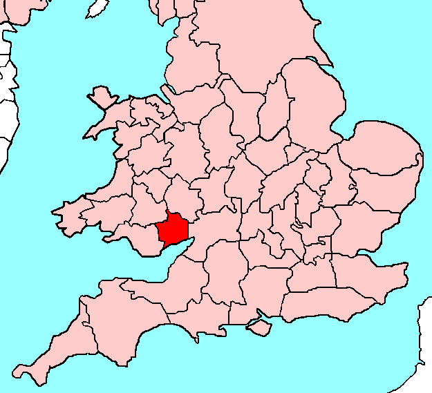
| Description | Monmouthshire |
| Date | |
| Source | Own work |
| Author | User:Hogweard |
Licensing
| I, the copyright holder of this work, release this work into the public domain. This applies worldwide. In some countries this may not be legally possible; if so: I grant anyone the right to use this work for any purpose, without any conditions, unless such conditions are required by law. |
File history
Click on a date/time to view the file as it appeared at that time.
| Date/Time | Thumbnail | Dimensions | User | Comment | |
|---|---|---|---|---|---|
| current | 17:06, 10 May 2009 | | 625 × 569 (26 KB) | Hogweard | {{Information |Description= |Source= |Date= |Author= |Permission= |other_versions= }} |
| 23:12, 13 November 2008 |  | 625 × 569 (18 KB) | Hogweard | {{Information |Description=Monmouthshire |Source=Own work |Date=12 November 2008 |Author=User:Hogweard |Permission= |other_versions= }} Category:Locator maps of counties of the United Kingdom Category:Maps of the United Kingdom == [[Commons:C |
File usage
There are no pages that use this file.
Global file usage
The following other wikis use this file:
- Usage on eo.wikipedia.org
- Usage on fr.wikipedia.org
- Usage on hi.wikipedia.org
- Usage on id.wikipedia.org