File:NavassaEastCoastAerialUSGS.jpg

Size of this preview: 800 × 527 pixels. Other resolutions: 320 × 211 pixels | 640 × 421 pixels | 1,024 × 674 pixels | 1,280 × 843 pixels | 1,800 × 1,185 pixels.
Original file (1,800 × 1,185 pixels, file size: 392 KB, MIME type: image/jpeg)
| This is a file from the Wikimedia Commons. Information from its description page there is shown below. Commons is a freely licensed media file repository. You can help. |
Summary
| Description |
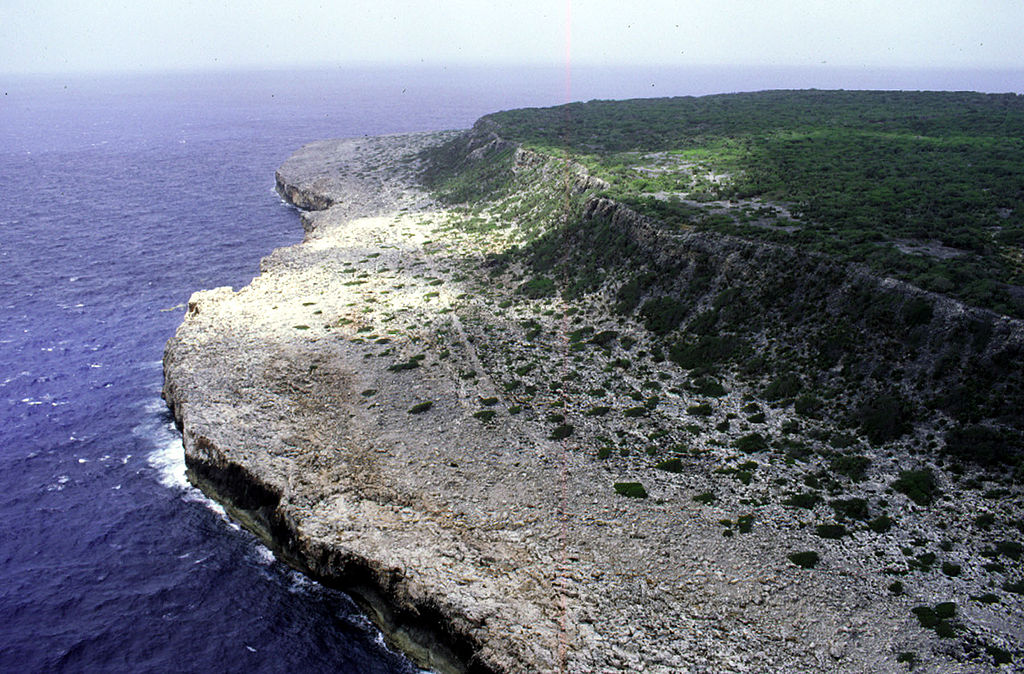
Deutsch: Luftaufnahme der Ostküste von Navassa, Blickrichtung Süden
English: Aerial photo of the east coast of Navassa Island, looking south |
| Date | not specified |
| Source | http://coastal.er.usgs.gov/navassa/geology/terraces4.html |
| Author | USGS |
Licensing
This image is in the public domain in the United States because it only contains materials that originally came from the United States Geological Survey, an agency of the United States Department of the Interior. For more information, see the official USGS copyright policy.
|
Original upload log
Original Uploader was Jonathunder (talk) at 22 February 2006.
00:41, 22 February 2006 . . Jonathunder (Talk | contribs) . . 1800×1185 (401,763 bytes) (United States Geological Survey aerial photo of the east coast of Navassa Island, looking south. Source: http://coastal.er.usgs.gov/navassa/geology/terraces4.html)
File history
Click on a date/time to view the file as it appeared at that time.
| Date/Time | Thumbnail | Dimensions | User | Comment | |
|---|---|---|---|---|---|
| current | 11:41, 15 May 2007 | | 1,800 × 1,185 (392 KB) | Telim tor | {{Information |Description=Aerial photo of the east coast of Navassa Island, looking south. |Source=http://coastal.er.usgs.gov/navassa/geology/terraces4.html |Date=unknown |Author=unknown |Permission=PD, see licensing |other_versions= }} == Licensing == |
File usage
There are no pages that use this file.
Global file usage
The following other wikis use this file:
- Usage on be.wikipedia.org
- Usage on de.wikipedia.org
- Usage on el.wikipedia.org
- Usage on en.wikipedia.org
- Usage on fa.wikipedia.org
- Usage on fr.wikipedia.org
- Usage on hu.wikipedia.org
- Usage on io.wikipedia.org
- Usage on ka.wikipedia.org
- Usage on lv.wikipedia.org
- Usage on nds.wikipedia.org
- Usage on no.wikipedia.org
- Usage on pa.wikipedia.org
- Usage on pl.wikipedia.org
- Usage on pnb.wikipedia.org
- Usage on pt.wikibooks.org
- Usage on ru.wikipedia.org
- Usage on su.wikipedia.org
- Usage on th.wikipedia.org
- Usage on uz.wikipedia.org
- Usage on vi.wikipedia.org
- Usage on yo.wikipedia.org