File:Outline Map of Stavropol Krai.svg

Size of this PNG preview of this SVG file: 512 × 397 pixels. Other resolutions: 310 × 240 pixels | 619 × 480 pixels | 991 × 768 pixels | 1,280 × 993 pixels | 2,560 × 1,985 pixels.
Original file (SVG file, nominally 512 × 397 pixels, file size: 190 KB)
| This is a file from the Wikimedia Commons. Information from its description page there is shown below. Commons is a freely licensed media file repository. You can help. |
Summary
| Description |
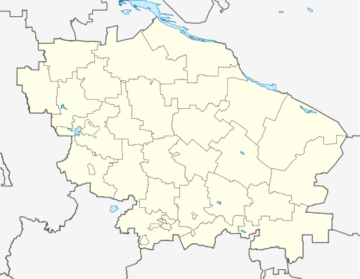
Русский: Позиционная карта Ставропольского края
|top = 46.4 |bottom = 43.5 |left = 40.6 |right = 45.9 |
| Date | |
| Source |
Own work This W3C-unspecified vector image was created with Inkscape .
|
| Author | Виктор В |
| Other versions |
[] |


Licensing
This file is licensed under the Creative Commons Attribution-Share Alike 2.0 Generic license.
- You are free:
- to share – to copy, distribute and transmit the work
- to remix – to adapt the work
- Under the following conditions:
- attribution – You must give appropriate credit, provide a link to the license, and indicate if changes were made. You may do so in any reasonable manner, but not in any way that suggests the licensor endorses you or your use.
- share alike – If you remix, transform, or build upon the material, you must distribute your contributions under the same or compatible license as the original.
File history
Click on a date/time to view the file as it appeared at that time.
| Date/Time | Thumbnail | Dimensions | User | Comment | |
|---|---|---|---|---|---|
| current | 04:18, 7 September 2010 | | 512 × 397 (190 KB) | Виктор В | ошибся... |
| 04:17, 7 September 2010 |  | 512 × 397 (190 KB) | Виктор В | исправления | |
| 15:39, 2 September 2010 |  | 512 × 397 (187 KB) | Виктор В | == {{int:filedesc}} == {{Information |Description={{ru|1=Позиционная карта Ставропольского края *Проекция — равноугольная. *Стандартная параллель — 45°00′00″с.ш. *Па� |
File usage
The following 3 pages use this file:
Global file usage
The following other wikis use this file:
- Usage on af.wikipedia.org
- Usage on ar.wikipedia.org
- Usage on azb.wikipedia.org
- Usage on ba.wikipedia.org
- Usage on be.wikipedia.org
- Usage on bg.wikipedia.org
- Usage on bs.wikipedia.org
- Usage on ceb.wikipedia.org
- Usage on ce.wikipedia.org
- Ставрополь
- Будённовск
- Георгиевск
- Благодарни
- Изобильни (Изобильнин кӀошт)
- Ипатово (Ставрополан мохк)
- Новопавловск
- Михайловск (Ставрополан мохк)
- Зеленокумск
- Минвод
- Нефтекумск
- Новоалександровск
- Светлоград
- Пятигорск
- Ессентуки
- Кисловодск
- Железноводск
- Садови (Александровскан кӀошт)
- Харьковски (Александровскан кӀошт)
View more global usage of this file.