File:Port Mor, Muck.jpg
No higher resolution available.
Port_Mor,_Muck.jpg (640 × 379 pixels, file size: 47 KB, MIME type: image/jpeg)
| This is a file from the Wikimedia Commons. Information from its description page there is shown below. Commons is a freely licensed media file repository. You can help. |
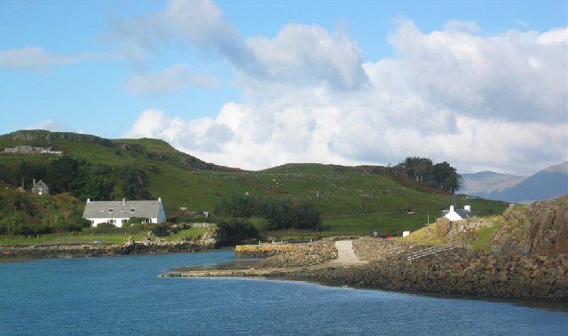
Summary
| Description |
English: Port Mòr, Muck |
| Date | |
| Source |
This file was derived from: Port Mor, Muck. - geograph.org.uk - 68372.jpg |
| Author | David Crocker |
| Camera location | | View this and other nearby images on: OpenStreetMap |
|---|
This file is licensed under the Creative Commons Attribution-Share Alike 2.0 Generic license.
Attribution: David Crocker
- You are free:
- to share – to copy, distribute and transmit the work
- to remix – to adapt the work
- Under the following conditions:
- attribution – You must give appropriate credit, provide a link to the license, and indicate if changes were made. You may do so in any reasonable manner, but not in any way that suggests the licensor endorses you or your use.
- share alike – If you remix, transform, or build upon the material, you must distribute your contributions under the same or compatible license as the original.
File history
Click on a date/time to view the file as it appeared at that time.
| Date/Time | Thumbnail | Dimensions | User | Comment | |
|---|---|---|---|---|---|
| current | 13:18, 12 March 2006 | | 640 × 379 (47 KB) | Cactus.man | Port Mòr, Muck. {{geograph|68372|David Crocker}} Category:Scotland Category:Islands of Scotland |
File usage
The following 2 pages use this file:
Global file usage
The following other wikis use this file:
- Usage on br.wikipedia.org
- Usage on ca.wikipedia.org
- Usage on ceb.wikipedia.org
- Usage on da.wikipedia.org
- Usage on de.wikipedia.org
- Usage on el.wikipedia.org
- Usage on en.wikipedia.org
- Usage on et.wikipedia.org
- Usage on eu.wikipedia.org
- Usage on fr.wikipedia.org
- Usage on ga.wikipedia.org
- Usage on gd.wikipedia.org
- Usage on it.wikipedia.org
- Usage on nl.wikipedia.org
- Usage on nn.wikipedia.org
- Usage on no.wikipedia.org
- Usage on pt.wikipedia.org
- Usage on www.wikidata.org
- Usage on zh.wikipedia.org