File:Rbfkornwestheim.jpg
Size of this preview: 518 × 600 pixels. Other resolutions: 207 × 240 pixels | 414 × 480 pixels | 663 × 768 pixels | 884 × 1,024 pixels | 1,824 × 2,112 pixels.
Original file (1,824 × 2,112 pixels, file size: 2.65 MB, MIME type: image/jpeg)
| This is a file from the Wikimedia Commons. Information from its description page there is shown below. Commons is a freely licensed media file repository. You can help. |
Summary
| Description |
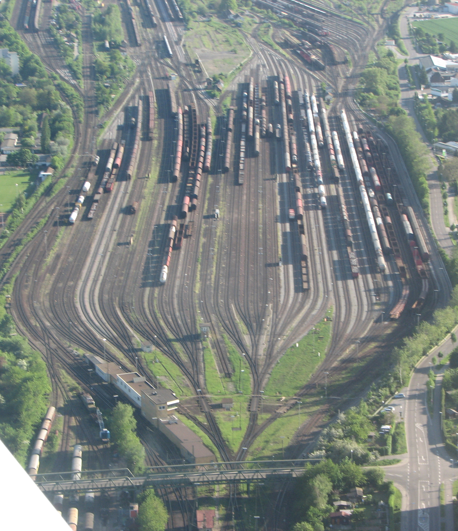
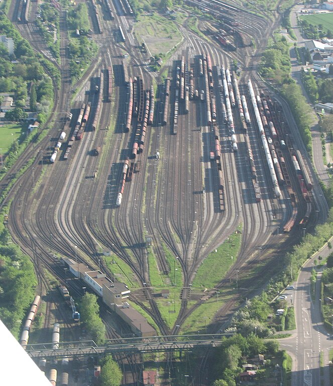
Deutsch: Rangierbahnhof Kornwestheim - Luftaufnahme |
| Date | |
| Source | Own work |
| Author | Tobias Rad |
| Other versions |
|

| Object location | | View this and other nearby images on: OpenStreetMap |
|---|
Licensing
I, the copyright holder of this work, hereby publish it under the following license:
This file is licensed under the Creative Commons Attribution-Share Alike 3.0 Unported license.
- You are free:
- to share – to copy, distribute and transmit the work
- to remix – to adapt the work
- Under the following conditions:
- attribution – You must give appropriate credit, provide a link to the license, and indicate if changes were made. You may do so in any reasonable manner, but not in any way that suggests the licensor endorses you or your use.
- share alike – If you remix, transform, or build upon the material, you must distribute your contributions under the same or compatible license as the original.
File history
Click on a date/time to view the file as it appeared at that time.
| Date/Time | Thumbnail | Dimensions | User | Comment | |
|---|---|---|---|---|---|
| current | 18:51, 12 May 2008 | | 1,824 × 2,112 (2.65 MB) | Tobiasrad | {{Information |Description=Rangierbahnhof Kornwestheim - Luftaufnahme |Source=Digital Photograph taken by Tobias Rad |Date=11.05.2008 - 11th of May 2008 |Author= Tobias Rad |Permission= |other_versions= }} |
File usage
The following page uses this file:
Global file usage
The following other wikis use this file:
- Usage on als.wikipedia.org
- Usage on be.wikipedia.org
- Usage on cs.wikipedia.org
- Usage on de.wikipedia.org
- Usage on de.wiktionary.org
- Usage on en.wikipedia.org
- Usage on lmo.wikipedia.org
- Usage on no.wikipedia.org
- Usage on pl.wikipedia.org
- Usage on ru.wikipedia.org
- Usage on www.wikidata.org