File:Relief Map of Slovakia 2.png

Size of this preview: 800 × 413 pixels. Other resolutions: 320 × 165 pixels | 640 × 330 pixels | 1,000 × 516 pixels.
Original file (1,000 × 516 pixels, file size: 611 KB, MIME type: image/png)
| This is a file from the Wikimedia Commons. Information from its description page there is shown below. Commons is a freely licensed media file repository. You can help. |
Summary
| Description |
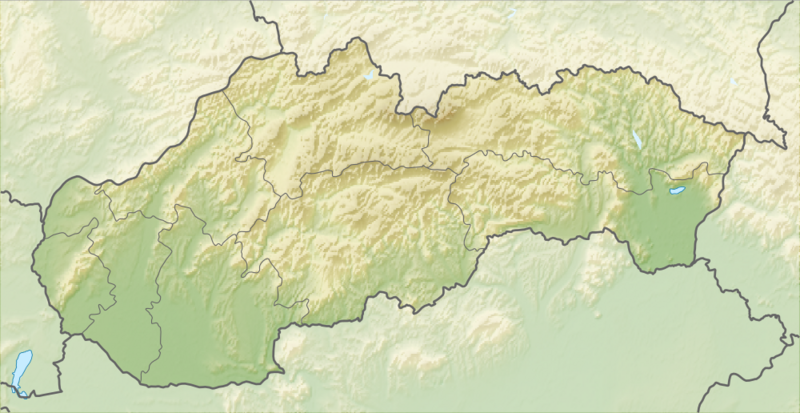
English: Relief map of Slovakia
Equirectangular projection, N/S stretching 150 %. Geographic limits of the map:
|
| Date | |
| Source |
|
| Author | derivative work Виктор_В |
Licensing
This file is licensed under the Creative Commons Attribution-Share Alike 3.0 Unported license.
- You are free:
- to share – to copy, distribute and transmit the work
- to remix – to adapt the work
- Under the following conditions:
- attribution – You must give appropriate credit, provide a link to the license, and indicate if changes were made. You may do so in any reasonable manner, but not in any way that suggests the licensor endorses you or your use.
- share alike – If you remix, transform, or build upon the material, you must distribute your contributions under the same or compatible license as the original.
File history
Click on a date/time to view the file as it appeared at that time.
| Date/Time | Thumbnail | Dimensions | User | Comment | |
|---|---|---|---|---|---|
| current | 12:44, 28 August 2010 | | 1,000 × 516 (611 KB) | Виктор В | == {{int:filedesc}} == {{Information |Description={{en|Relief map of Slovakia}} Equirectangular projection, N/S stretching 150 %. Geographic limits of the map: * N: 49.8° N * S: 47.6° N * W: 16.6° E * E: 23.0° E |Source=*[[:File:Slova |
File usage
The following 20 pages use this file:
Global file usage
The following other wikis use this file:
- Usage on als.wikipedia.org
- Usage on ar.wikipedia.org
- Usage on ast.wikipedia.org
- Usage on az.wikipedia.org
- Usage on ba.wikipedia.org
- Usage on be.wikipedia.org
- Шаблон:На карце/Славакія
- Татры
- Герлахаўскі Шціт
- Высокія Татры
- Малая Фатра
- Вялікая Фатра
- Втачнік
- Шцьяўніцкія горы
- Грон
- Орава
- Лабарац
- Ваг
- Гомбасецкая пячора
- Стужыца
- Сланске Врхі
- Малы Дунай
- Выдрыца (Браціслава)
- Славацкае Рудагор’е
- Слана
- Белыя Карпаты
- Міява (рака)
- Дэманаўская пячора свабоды
- Ораўскае вадасховішча
- Крывань
- Ломніцкі Шціт
- Бэбрава
- Дунаец
- Нітра (рака)
- Латарыца
- Ч’ерна Гора
- Рагачка (гара)
- Usage on bn.wikipedia.org
View more global usage of this file.