File:Romania location map.svg

Size of this PNG preview of this SVG file: 800 × 572 pixels. Other resolutions: 320 × 229 pixels | 640 × 458 pixels | 1,024 × 732 pixels | 1,280 × 915 pixels | 2,560 × 1,831 pixels | 1,611 × 1,152 pixels.
Original file (SVG file, nominally 1,611 × 1,152 pixels, file size: 194 KB)
| This is a file from the Wikimedia Commons. Information from its description page there is shown below. Commons is a freely licensed media file repository. You can help. |
Summary
| Description |
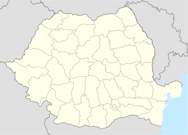
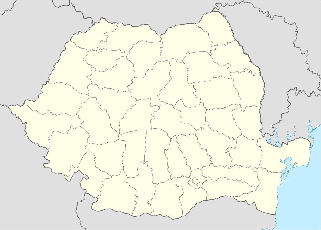
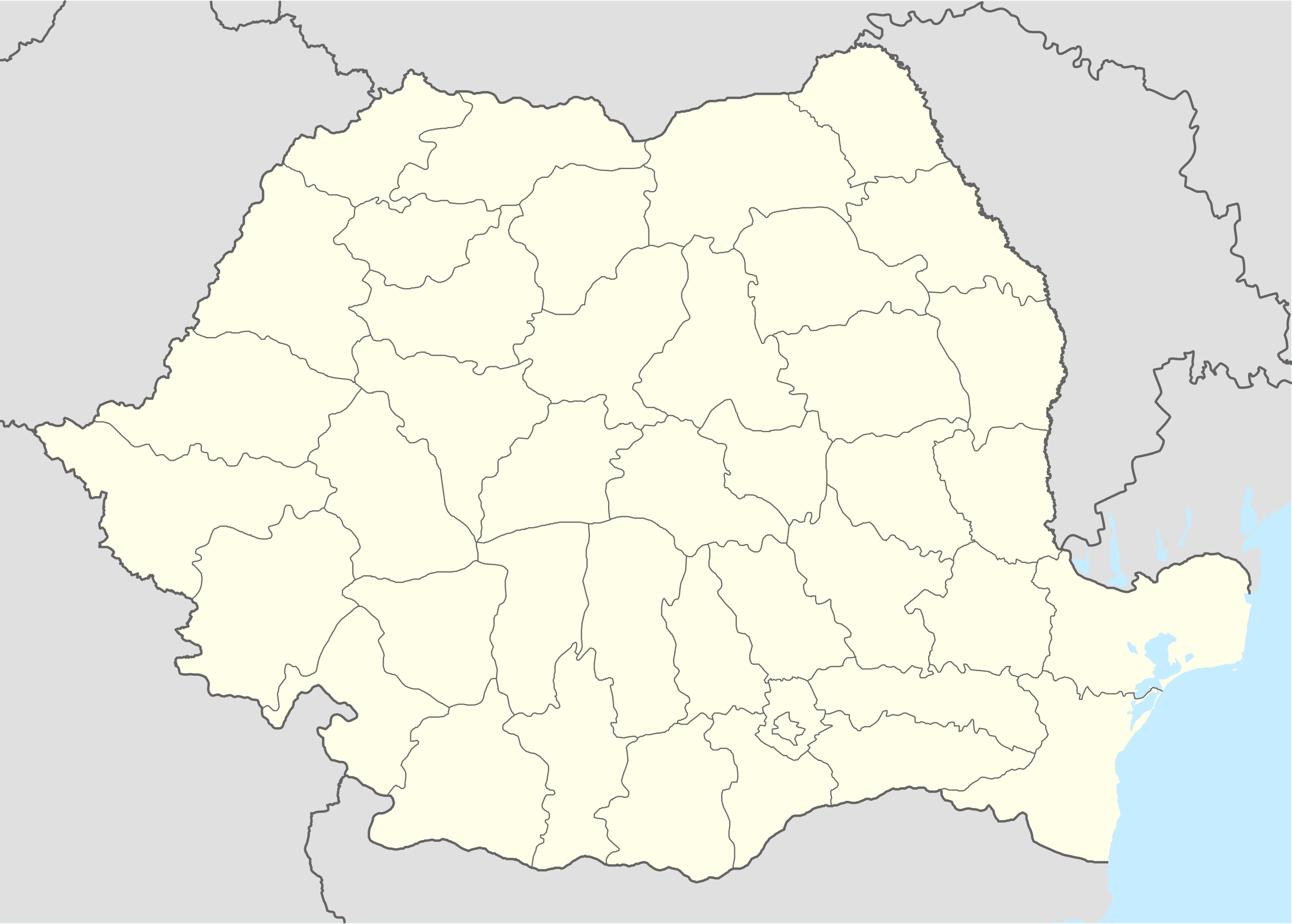
Deutsch: Positionskarte von Rumänien
Quadratische Plattkarte, N-S-Streckung 140 %. Geographische Begrenzung der Karte:
English: Location map of Romania
Equirectangular projection, N/S stretching 140 %. Geographic limits of the map:
|
| Date | |
| Source | own work, using United States National Imagery and Mapping Agency data |
| Author | NordNordWest |
| Other versions |
|


|
This map has been made or improved in the German Kartenwerkstatt (Map Lab). You can propose maps to improve as well.
|
Licensing
I, the copyright holder of this work, hereby publish it under the following licenses:

|
Permission is granted to copy, distribute and/or modify this document under the terms of the GNU Free Documentation License, Version 1.2 or any later version published by the Free Software Foundation; with no Invariant Sections, no Front-Cover Texts, and no Back-Cover Texts. A copy of the license is included in the section entitled GNU Free Documentation License. |
This file is licensed under the Creative Commons Attribution-Share Alike 3.0 Unported license.
- You are free:
- to share – to copy, distribute and transmit the work
- to remix – to adapt the work
- Under the following conditions:
- attribution – You must give appropriate credit, provide a link to the license, and indicate if changes were made. You may do so in any reasonable manner, but not in any way that suggests the licensor endorses you or your use.
- share alike – If you remix, transform, or build upon the material, you must distribute your contributions under the same or compatible license as the original.
You may select the license of your choice.
File history
Click on a date/time to view the file as it appeared at that time.
| Date/Time | Thumbnail | Dimensions | User | Comment | |
|---|---|---|---|---|---|
| current | 21:51, 5 March 2022 | | 1,611 × 1,152 (194 KB) | Flagvisioner | Reverted to version as of 11:40, 6 June 2019 (UTC) |
| 05:54, 22 February 2022 |  | 1,611 × 1,152 (409 KB) | Turbo Slayer 2021 | Coastline | |
| 11:40, 6 June 2019 |  | 1,611 × 1,152 (194 KB) | RHaworth | Smaller version. The larger version is not "very accurate": it just contains 200k bytes of spurious precision. | |
| 12:31, 2 October 2012 |  | 1,611 × 1,152 (409 KB) | Palosirkka | Reverted to version as of 17:18, 5 September 2008 Location maps must remain very accurate | |
| 11:13, 2 October 2012 |  | 1,611 × 1,152 (203 KB) | Palosirkka | Scrubbed with http://codedread.com/scour/ | |
| 17:18, 5 September 2008 |  | 1,611 × 1,152 (409 KB) | NordNordWest | ||
| 08:52, 2 September 2008 |  | 1,611 × 1,152 (408 KB) | NordNordWest | ||
| 15:48, 7 July 2008 |  | 806 × 576 (386 KB) | NordNordWest | {{Information |Description= {{de|Positionskarte von Rumänien}} Quadratische Plattkarte, N-S-Streckung 140 %. Geographische Begrenzung der Karte: * N: 48.5° N * S: 43.4° N * W: 20.0° O * O: 30.0° O {{en|Location map of [[:en:Romania| |
File usage
More than 100 pages use this file. The following list shows the first 100 pages that use this file only. A full list is available.
- Almăj
- Amărăștii de Sus
- Apele Vii
- Argetoaia
- Baia de Criș
- Bistreț
- Bogdăneşti, Suceava
- Botoșești-Paia
- Brabova
- Braloștița
- Bratovoești
- Breasta
- Brodina
- Bucharest
- Bucovăț
- Buneşti, Suceava
- Bustuchin
- Bârca
- Cacica
- Caraula
- Carpen
- Castranova
- Catane
- Celaru
- Cernătești, Dolj
- Cerăt
- Cetate, Dolj
- Chiojdu
- Cioroiași
- Cislău
- Ciupercenii Noi
- Coșoveni
- Coțofenii din Dos
- Coțofenii din Față
- Câmpulung Moldovenesc
- Cârcea
- Cârlibaba
- Călărași, Dolj
- Daneți
- Desa, Dolj
- Dioști
- Dorna-Arini
- Drănic
- Dumbrăveni, Suceava
- Dăbuleni
- Dărmăneşti, Suceava
- Filiași
- Forăşti
- Fălticeni
- Fărcaș
- Galicea Mare
- Galiciuica
- Ghidici
- Ghindeni
- Gighera
- Giubega
- Giurgița
- Goiești
- Grecești
- Grăniceşti
- Gura Humorului
- Gângiova
- Horodnic de Sus
- Iași
- Izvoare
- Ișalnița
- Leu, Dolj
- Lipovu
- Maglavit
- Malu Mare
- Marginea
- Melinești
- Mischii
- Moțăței
- Murgași
- Mârșani
- Măceșu de Jos
- Măceșu de Sus
- Negoi
- Nehoiu
- Orodel
- Ostroveni
- Perișor
- Podari
- Poiana Mare
- Predești
- Radovan, Dolj
- Rădăuţi
- Rădăşeni
- Seaca de Câmp
- Serbăuţi
- Sibiu
- Siret
- Slatina, Suceava
- Solca
- Târgu Jiu
- Vatra Dornei
- Vatra Moldoviţei
- Victoria, Brașov
- Vârtop
View more links to this file.
Global file usage
The following other wikis use this file:
- Usage on af.wikipedia.org
- Usage on als.wikipedia.org
- Usage on an.wikipedia.org
- Usage on ar.wikipedia.org
- Usage on ast.wikipedia.org
View more global usage of this file.