File:Saut-Chalard-hiver 08.JPG

Size of this preview: 800 × 531 pixels. Other resolutions: 320 × 213 pixels | 640 × 425 pixels | 1,024 × 680 pixels | 1,280 × 850 pixels | 2,560 × 1,700 pixels | 4,288 × 2,848 pixels.
Original file (4,288 × 2,848 pixels, file size: 4.51 MB, MIME type: image/jpeg)
| This is a file from the Wikimedia Commons. Information from its description page there is shown below. Commons is a freely licensed media file repository. You can help. |
| Description |
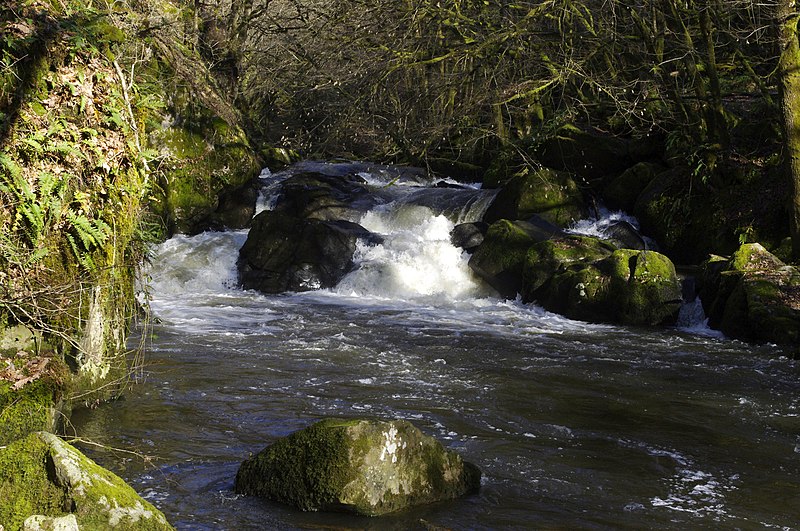
Français : La Dronne en limite des communes de Champs-Romain et Saint-Saud-Lacoussière dans le Nord du département de la Dordogne. La cascade "Saut du Chalard". |
| Date | |
| Source | Own work |
| Author | Traumrune |
| Attribution (required by the license) | © Traumrune / Wikimedia Commons / |
| Object location | | View this and other nearby images on: OpenStreetMap |
|---|
This file is licensed under the Creative Commons Attribution-Share Alike 3.0 Unported license.
- You are free:
- to share – to copy, distribute and transmit the work
- to remix – to adapt the work
- Under the following conditions:
- attribution – You must give appropriate credit, provide a link to the license, and indicate if changes were made. You may do so in any reasonable manner, but not in any way that suggests the licensor endorses you or your use.
- share alike – If you remix, transform, or build upon the material, you must distribute your contributions under the same or compatible license as the original.
File history
Click on a date/time to view the file as it appeared at that time.
| Date/Time | Thumbnail | Dimensions | User | Comment | |
|---|---|---|---|---|---|
| current | 21:11, 19 February 2013 | | 4,288 × 2,848 (4.51 MB) | Traumrune | {{Information |Description={{fr|La Dronne en limite des communes de Champs-Romain et Saint-Saud-Lacoussière dans le Nord du département de la Dordogne. La cascade "Saut du Chalard".}} |Source={{own}} |Date=2013-02-17 |Author=[[user:Traumrune|Traumrun... |
File usage
The following page uses this file:
Global file usage
The following other wikis use this file:
- Usage on en.wikipedia.org
- Usage on fa.wikipedia.org
- Usage on oc.wikipedia.org
- Usage on zh.wikipedia.org