File:Schlachtfeld Schlacht bei Hastings juni09.JPG

Size of this preview: 800 × 600 pixels. Other resolutions: 320 × 240 pixels | 640 × 480 pixels | 1,024 × 768 pixels | 1,280 × 960 pixels | 1,600 × 1,200 pixels.
Original file (1,600 × 1,200 pixels, file size: 492 KB, MIME type: image/jpeg)
| This is a file from the Wikimedia Commons. Information from its description page there is shown below. Commons is a freely licensed media file repository. You can help. |
Summary
| Description |
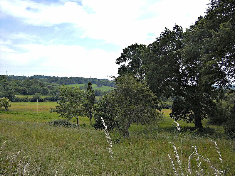
Deutsch: Das Schlachtfeld von Norden aus gesehen. (Battle, TN33 0AD, UK) |
| Date | |
| Source | Own work |
| Author | Mac-man.yc |
| Camera location | | View this and other nearby images on: OpenStreetMap |
|---|
Licensing
| I, the copyright holder of this work, release this work into the public domain. This applies worldwide. In some countries this may not be legally possible; if so: I grant anyone the right to use this work for any purpose, without any conditions, unless such conditions are required by law. |
File history
Click on a date/time to view the file as it appeared at that time.
| Date/Time | Thumbnail | Dimensions | User | Comment | |
|---|---|---|---|---|---|
| current | 12:41, 14 October 2017 | | 1,600 × 1,200 (492 KB) | Soerfm | Brightness |
| 21:43, 27 July 2013 |  | 3,072 × 2,304 (1.91 MB) | Hohum | Levels | |
| 16:27, 17 November 2009 |  | 3,072 × 2,304 (1.1 MB) | Mac-man.yc | {{Information |Description={{de|1=Das Schlachtfeld von Norden aus gesehen. (Battle, TN33 0AD, UK)}} |Source={{own}} |Author=Mac-man.yc |Date=2009-06-17 |Permission= |other_versions= }} {{coord|50|54|49.09|N|0|29|10.1|E|type:city_reg |
File usage
The following page uses this file:
Global file usage
The following other wikis use this file:
- Usage on azb.wikipedia.org
- Usage on ca.wikipedia.org
- Usage on de.wikipedia.org
- Usage on en.wikipedia.org
- Usage on fa.wikipedia.org
- Usage on fr.wikipedia.org
- Usage on fy.wikipedia.org
- Usage on ja.wikipedia.org
- Usage on mk.wikipedia.org
- Usage on pt.wikipedia.org
- Usage on ro.wikipedia.org
- Usage on tr.wikipedia.org
- Usage on zh.wikipedia.org