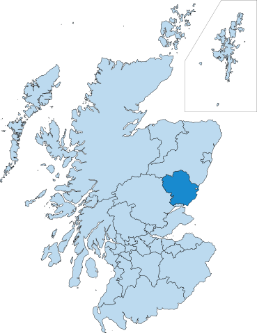
File:ScotlandAngus.svg

Size of this PNG preview of this SVG file: 461 × 599 pixels. Other resolutions: 185 × 240 pixels | 369 × 480 pixels | 591 × 768 pixels | 788 × 1,024 pixels | 1,576 × 2,048 pixels | 1,895 × 2,462 pixels.
Original file (SVG file, nominally 1,895 × 2,462 pixels, file size: 601 KB)
| This is a file from the Wikimedia Commons. Information from its description page there is shown below. Commons is a freely licensed media file repository. You can help. |
| Description | |
| Date | (UTC) |
| Source | |
| Author |
|
| This is a retouched picture, which means that it has been digitally altered from its original version. Modifications: Converted for Angus. The original can be viewed here: ScotlandMoray.svg:
|
I, the copyright holder of this work, hereby publish it under the following licenses:
This file is licensed under the Creative Commons Attribution-Share Alike 3.0 Unported, 2.5 Generic, 2.0 Generic and 1.0 Generic license.
- You are free:
- to share – to copy, distribute and transmit the work
- to remix – to adapt the work
- Under the following conditions:
- attribution – You must give appropriate credit, provide a link to the license, and indicate if changes were made. You may do so in any reasonable manner, but not in any way that suggests the licensor endorses you or your use.
- share alike – If you remix, transform, or build upon the material, you must distribute your contributions under the same or compatible license as the original.

|
Permission is granted to copy, distribute and/or modify this document under the terms of the GNU Free Documentation License, Version 1.2 or any later version published by the Free Software Foundation; with no Invariant Sections, no Front-Cover Texts, and no Back-Cover Texts. A copy of the license is included in the section entitled GNU Free Documentation License. |
You may select the license of your choice.
Original upload log
This image is a derivative work of the following images:
- File:ScotlandMoray.svg licensed with Cc-by-sa-3.0,2.5,2.0,1.0, GFDL
- 2010-08-30T23:23:19Z Alphathon 2000x2550 (759843 Bytes) {{Information |Description={{en|Map in English of [[:en:Scotland|Scotland]].''Note:'' The shaded relief is a raster image embedded in the SVG file.}} {{fr|Carte en anglais de l'[[:fr:Écosse|Écosse]].''Note :'' Le relief omb
Uploaded with derivativeFX
File history
Click on a date/time to view the file as it appeared at that time.
| Date/Time | Thumbnail | Dimensions | User | Comment | |
|---|---|---|---|---|---|
| current | 01:35, 1 September 2012 | | 1,895 × 2,462 (601 KB) | Peeperman | color edit |
| 00:24, 31 August 2010 |  | 2,000 × 2,550 (757 KB) | Alphathon | Added missing council boundary | |
| 23:37, 30 August 2010 |  | 2,000 × 2,550 (742 KB) | Alphathon | {{Information |Description={{en|Map of Scotland highlighting the Moray council area}} |Source=*File:ScotlandMoray.svg |Date=2010-08-30 23:36 (UTC) |Author=*File:ScotlandMoray.svg: *[ |
File usage
The following page uses this file:
Global file usage
The following other wikis use this file: