File:Trammulhouse.jpg

Size of this preview: 800 × 533 pixels. Other resolutions: 320 × 213 pixels | 640 × 426 pixels | 1,000 × 666 pixels.
Original file (1,000 × 666 pixels, file size: 123 KB, MIME type: image/jpeg)
| This is a file from the Wikimedia Commons. Information from its description page there is shown below. Commons is a freely licensed media file repository. You can help. |
Summary
| Description |
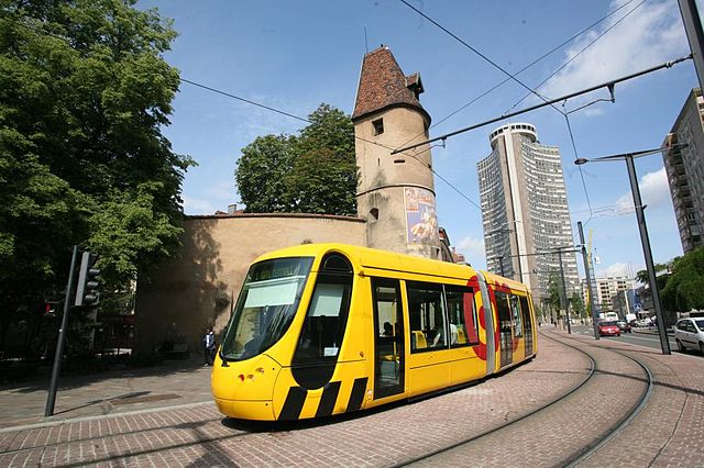
Français : Tramway de mulhouse. Tour de l'Europe.
English: Tramway in Mulhouse (France). Europa Tower
Deutsch: Straßenbahn im Mulhouse. Europa Turm
Norsk bokmål: Sporvogn i Mulhouse (Frankrike). Europatårn
Libres de Droits |
| Source | Own work |
| Author | Jipéto |
| Other versions | Derivative works of this file: Mulhouseviews.png |
| Camera location | | View this and other nearby images on: OpenStreetMap |
|---|
Licensing
| I, the copyright holder of this work, release this work into the public domain. This applies worldwide. In some countries this may not be legally possible; if so: I grant anyone the right to use this work for any purpose, without any conditions, unless such conditions are required by law. |
File history
Click on a date/time to view the file as it appeared at that time.
| Date/Time | Thumbnail | Dimensions | User | Comment | |
|---|---|---|---|---|---|
| current | 17:57, 28 September 2008 | | 1,000 × 666 (123 KB) | Jipéto | {{Information |Description={{fr|1=Tramway de mulhouse. Tour de l'Europe. Libres de Droits}} |Source=Own work by uploader |Author=Jipéto |Date= |Permission= |other_versions= }} <!--{{ImageUpload|full}}--> |
File usage
The following page uses this file:
Global file usage
The following other wikis use this file:
- Usage on als.wikipedia.org
- Usage on azb.wikipedia.org
- Usage on be-tarask.wikipedia.org
- Usage on en.wikipedia.org
- Usage on es.wikipedia.org
- Usage on fa.wikipedia.org
- Usage on fr.wikipedia.org
- Usage on fr.wikivoyage.org
- Usage on ja.wikipedia.org
- Usage on mk.wikipedia.org
- Usage on no.wikipedia.org
- Usage on sr.wikipedia.org
- Usage on tr.wikipedia.org
- Usage on www.wikidata.org