File:USA Colorado location map.svg

Size of this PNG preview of this SVG file: 800 × 587 pixels. Other resolutions: 320 × 235 pixels | 640 × 470 pixels | 1,024 × 751 pixels | 1,280 × 939 pixels | 2,560 × 1,879 pixels | 1,067 × 783 pixels.
Original file (SVG file, nominally 1,067 × 783 pixels, file size: 183 KB)
| This is a file from the Wikimedia Commons. Information from its description page there is shown below. Commons is a freely licensed media file repository. You can help. |
Summary
| Description |
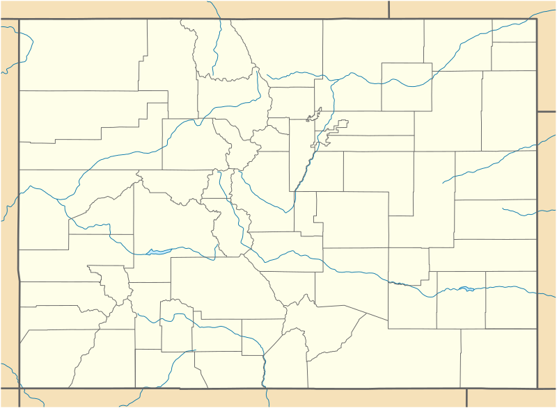
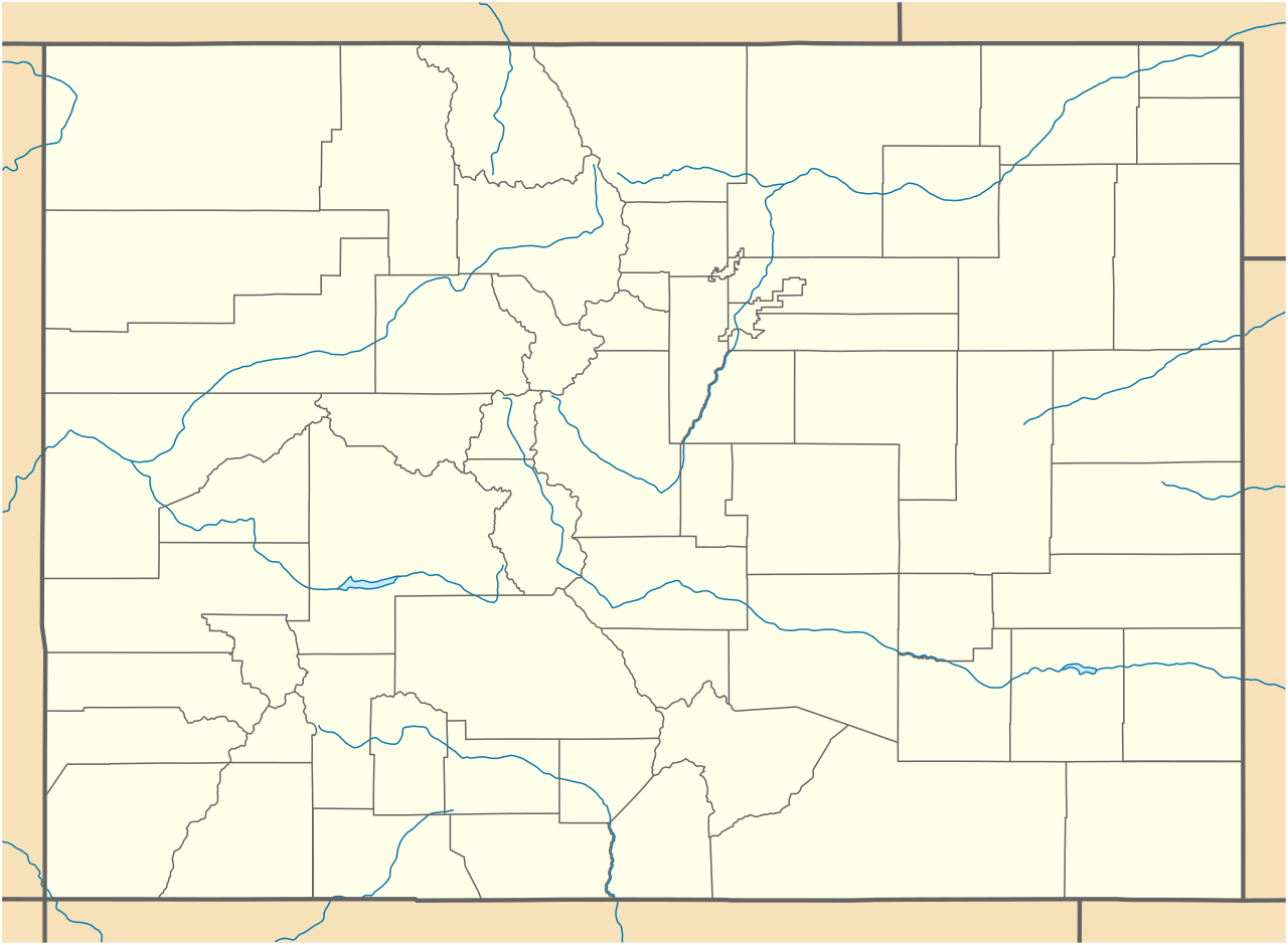
Quadratische Plattkarte, N-S-Streckung 125 %. Geographische Begrenzung der Karte:
Equirectangular projection, N/S stretching 125 %. Geographic limits of the map:
|
||
| Date | 09-06-2009 | ||
| Source |
own work, using
|
||
| Author | NordNordWest | ||
| Other versions |
Derivative works of this file: |
||
| SVG development |
|

Licensing
I, the copyright holder of this work, hereby publish it under the following licenses:

|
Permission is granted to copy, distribute and/or modify this document under the terms of the GNU Free Documentation License, Version 1.2 or any later version published by the Free Software Foundation; with no Invariant Sections, no Front-Cover Texts, and no Back-Cover Texts. A copy of the license is included in the section entitled GNU Free Documentation License. |
This file is licensed under the Creative Commons Attribution 3.0 Unported license.
- You are free:
- to share – to copy, distribute and transmit the work
- to remix – to adapt the work
- Under the following conditions:
- attribution – You must give appropriate credit, provide a link to the license, and indicate if changes were made. You may do so in any reasonable manner, but not in any way that suggests the licensor endorses you or your use.
You may select the license of your choice.
File history
Click on a date/time to view the file as it appeared at that time.
| Date/Time | Thumbnail | Dimensions | User | Comment | |
|---|---|---|---|---|---|
| current | 18:06, 12 June 2009 | | 1,067 × 783 (183 KB) | NordNordWest | {{Information |Description= {{de|Positionskarte von Colorado, USA}} Quadratische Plattkarte, N-S-Streckung 125 %. Geographische Begrenzung der Karte: * N: 41.2° N * S: 36.8° N * W: 109.3° W * O: 101.8° W {{en|Location map |
File usage
The following 7 pages use this file:
Global file usage
The following other wikis use this file:
- Usage on af.wikipedia.org
- Usage on als.wikipedia.org
- Usage on an.wikipedia.org
- Usage on ar.wikipedia.org
- Usage on azb.wikipedia.org
- برندون، کولورادو
- آنتن، کولورادو
- بوفالو کریک، کولورادو
- کامپیون، کولورادو
- هیستی، کولورادو
- ولمانت، کولورادو
- کوتوپاکسی، کولورادو
- پارشال، کولورادو
- مککوی، کولورادو
- آیدلدیل، کولورادو
- قلد هیل، کولورادو
- راک کریک پارک، کولورادو
- چاکرا، کولورادو
- لینر، کولورادو
- لوئیس، کولورادو
- هوارد، کولورادو
- نو نیم، کولورادو
- قلدفیلد، کولورادو
- کولدیل، کولورادو
- بونانزا ماونتین استیتس، کولورادو
- واتیکنز، کولورادو
- پاینبروک هیل، کولورادو
- ماونتین میدوز، کولورادو
- سانشاین، کولورادو
- بارک رنچ، کولورادو
- کاترین، کولورادو
- پرقان استیتس، کولورادو
- سنت آن هایلند، کولورادو
- راش، کولورادو
- کوردیلرا، کولورادو
- دیواید، کولورادو
- کامو، کولورادو
- بیور کریک، کولورادو
- لوما، کولورادو
- فاریستا، کولورادو
- هواردزویل، کولورادو
- فالکون، کولورادو
- جفرسون، کولورادو
- کتل کریک، کولورادو
- قرانیت، کولورادو
- داتسرو، کولورادو
- سارجنتس، کولورادو
- کولمانت، کولورادو
- پاینکلیف، کولورادو
View more global usage of this file.