File:USA North Carolina relief location map.jpg

Size of this preview: 800 × 485 pixels. Other resolutions: 320 × 194 pixels | 640 × 388 pixels | 1,024 × 621 pixels | 1,280 × 776 pixels | 1,774 × 1,076 pixels.
Original file (1,774 × 1,076 pixels, file size: 696 KB, MIME type: image/jpeg)
| This is a file from the Wikimedia Commons. Information from its description page there is shown below. Commons is a freely licensed media file repository. You can help. |
Summary
| Description |
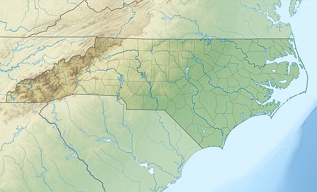
Quadratische Plattkarte, N-S-Streckung 120.0 %. Geographische Begrenzung der Karte:
Equirectangular projection, N/S stretching 120.0 %. Geographic limits of the map:
|
||
| Date | |||
| Source |
Own work
|
||
| Author | Alexrk2 | ||
| Other versions |
|


|
This map has been made or improved in the German Kartenwerkstatt (Map Lab). You can propose maps to improve as well.
|
Licensing
I, the copyright holder of this work, hereby publish it under the following licenses:

|
Permission is granted to copy, distribute and/or modify this document under the terms of the GNU Free Documentation License, Version 1.2 or any later version published by the Free Software Foundation; with no Invariant Sections, no Front-Cover Texts, and no Back-Cover Texts. A copy of the license is included in the section entitled GNU Free Documentation License. |
This file is licensed under the Creative Commons Attribution 3.0 Unported license.
- You are free:
- to share – to copy, distribute and transmit the work
- to remix – to adapt the work
- Under the following conditions:
- attribution – You must give appropriate credit, provide a link to the license, and indicate if changes were made. You may do so in any reasonable manner, but not in any way that suggests the licensor endorses you or your use.
You may select the license of your choice.
File history
Click on a date/time to view the file as it appeared at that time.
| Date/Time | Thumbnail | Dimensions | User | Comment | |
|---|---|---|---|---|---|
| current | 12:04, 25 April 2010 | | 1,774 × 1,076 (696 KB) | Alexrk2 | == {{int:filedesc}} == {{Information |Description= {{de|Physische Positionskarte von North Carolina, USA}} Quadratische Plattkarte, N-S-Streckung 120.0 %. Geographische Begrenzung der Karte: * N: 37.5° N * S: 32.8° N * |
File usage
The following 11 pages use this file:
- Charlotte Douglas International Airport
- Durham, North Carolina
- Fayetteville, North Carolina
- High Point, North Carolina
- New Bern, North Carolina
- Raleigh, North Carolina
- Roanoke Colony
- Rocky Mount, North Carolina
- Wilmington, North Carolina
- Module:Location map/data/USA North Carolina
- Module:Location map/data/USA North Carolina/doc
Global file usage
The following other wikis use this file:
- Usage on ar.wikipedia.org
- Usage on ast.wikipedia.org
- Usage on az.wikipedia.org
- Usage on be-tarask.wikipedia.org
- Usage on bg.wikipedia.org
- Usage on bn.wikipedia.org
- Usage on ca.wikipedia.org
- Usage on ceb.wikipedia.org
- Usage on ce.wikipedia.org
- Usage on cs.wikipedia.org
- Usage on da.wikipedia.org
- Usage on de.wikipedia.org
- Mount Mitchell
- WRAL-Sendemast
- WITN-Tower
- WTVD-Sendemast
- WNCN-Sendemast
- Pilot Mountain State Park
- Mount Guyot (North Carolina)
- Roanoke Island
- Outer Banks
- Vorlage:Positionskarte USA North Carolina
- Grandfather Mountain
- Pamlico Sound
- High Rock Lake
- Lake Norman
- Lake Norman State Park
- King’s Pinnacle
- Wikipedia:Kartenwerkstatt/Positionskarten/Nordamerika
- Harris Lake (New Hill, North Carolina)
- Wikipedia:Kartenwerkstatt/Archiv/2010-04
View more global usage of this file.