File:Australia South Australia relief location map.png

Size of this preview: 516 × 599 pixels. Other resolutions: 207 × 240 pixels | 413 × 480 pixels | 661 × 768 pixels | 881 × 1,024 pixels | 1,812 × 2,105 pixels.
Original file (1,812 × 2,105 pixels, file size: 719 KB, MIME type: image/png)
| This is a file from the Wikimedia Commons. Information from its description page there is shown below. Commons is a freely licensed media file repository. You can help. |
Summary
| Description |
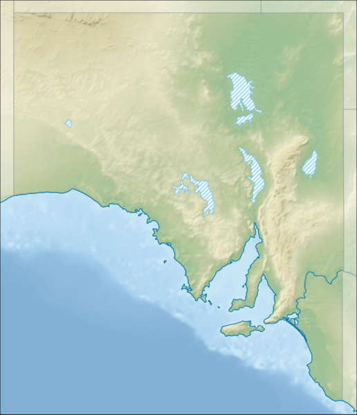
English: Location map of South Australia, Australia
Equidistant cylindrical projection, latitude of true scale 31.27° S (equivalent to equirectangular projection with N/S stretching 117 %). Geographic limits of the map:
|
| Date | |
| Source |
|
| Author | Tentotwo |
Licensing
I, the copyright holder of this work, hereby publish it under the following license:
This file is licensed under the Creative Commons Attribution-Share Alike 3.0 Unported license.
- You are free:
- to share – to copy, distribute and transmit the work
- to remix – to adapt the work
- Under the following conditions:
- attribution – You must give appropriate credit, provide a link to the license, and indicate if changes were made. You may do so in any reasonable manner, but not in any way that suggests the licensor endorses you or your use.
- share alike – If you remix, transform, or build upon the material, you must distribute your contributions under the same or compatible license as the original.

|
This map has been made or improved in the German Kartenwerkstatt (Map Lab). You can propose maps to improve as well.
|
File history
Click on a date/time to view the file as it appeared at that time.
| Date/Time | Thumbnail | Dimensions | User | Comment | |
|---|---|---|---|---|---|
| current | 18:30, 2 February 2013 | | 1,812 × 2,105 (719 KB) | Tentotwo | User created page with UploadWizard |
File usage
The following 3 pages use this file:
Global file usage
The following other wikis use this file:
- Usage on ar.wikipedia.org
- Usage on ast.wikipedia.org
- Usage on azb.wikipedia.org
- Usage on ban.wikipedia.org
- Usage on be.wikipedia.org
- Usage on bg.wikipedia.org
- Usage on bn.wikipedia.org
- Usage on ceb.wikipedia.org
- Usage on da.wikipedia.org
- Usage on de.wikipedia.org
- Lake Eyre
- Lake Torrens
- Ikara-Flinderskette-Nationalpark
- Canunda-Nationalpark
- Flinderskette
- Olympic Dam
- Beverley (Uranmine)
- Adelaide Hills
- Ediacara-Hügel
- Anna Creek Painted Hills
- Gulf Saint Vincent
- Yorke Peninsula
- Coorong-Nationalpark
- Eyre-Halbinsel
- Spencer-Golf
- Fleurieu-Halbinsel
- Vorlage:Positionskarte Australien Südaustralien
- Flinders-Chase-Nationalpark
- Wikipedia:Kartenwerkstatt/Positionskarten/Australien und Ozeanien
- Mount Schank
- Mount Gambier (Vulkan)
- Prominent Hill
- Challenger (Goldbergwerk)
- Lake-Eyre-Nationalpark
- Witjira-Nationalpark
View more global usage of this file.