File:Blank map of the Indian subcontinent.svg

Size of this PNG preview of this SVG file: 512 × 519 pixels. Other resolutions: 237 × 240 pixels | 474 × 480 pixels | 758 × 768 pixels | 1,010 × 1,024 pixels | 2,020 × 2,048 pixels.
Original file (SVG file, nominally 512 × 519 pixels, file size: 147 KB)
| This is a file from the Wikimedia Commons. Information from its description page there is shown below. Commons is a freely licensed media file repository. You can help. |
Summary
| Description |
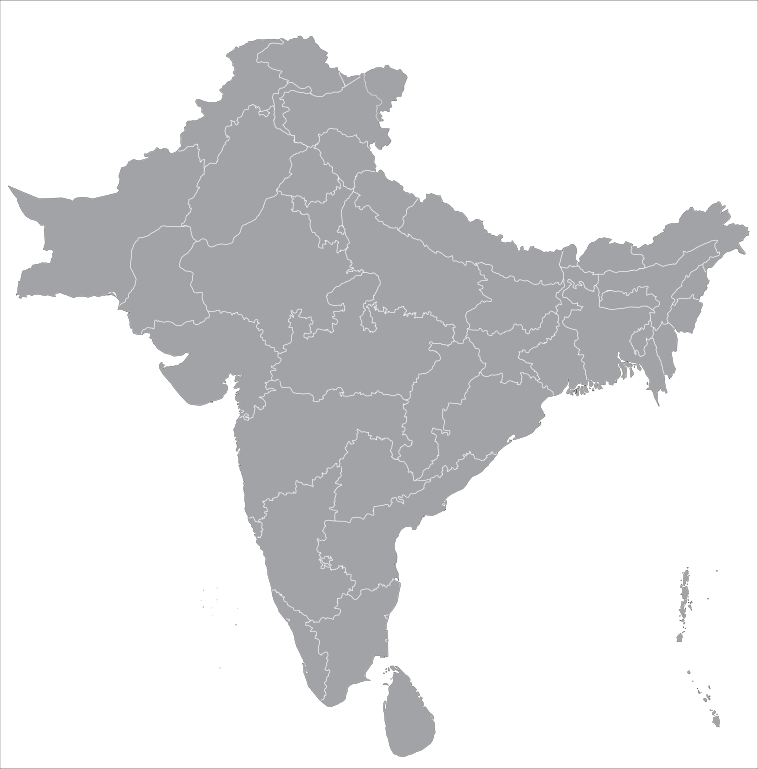
English: Blank map of the Indian subcontinent. Includes territory governed by states and union territories of India, provinces of Pakistan, and nations of Bangladesh, Nepal, Bhutan, and Sri Lanka. |
| Date | |
| Source | Own work |
| Author | Jambajuice1 |
Licensing
I, the copyright holder of this work, hereby publish it under the following license:
This file is licensed under the Creative Commons Attribution-Share Alike 4.0 International license.
- You are free:
- to share – to copy, distribute and transmit the work
- to remix – to adapt the work
- Under the following conditions:
- attribution – You must give appropriate credit, provide a link to the license, and indicate if changes were made. You may do so in any reasonable manner, but not in any way that suggests the licensor endorses you or your use.
- share alike – If you remix, transform, or build upon the material, you must distribute your contributions under the same or compatible license as the original.
File history
Click on a date/time to view the file as it appeared at that time.
| Date/Time | Thumbnail | Dimensions | User | Comment | |
|---|---|---|---|---|---|
| current | 21:42, 11 October 2018 | | 512 × 519 (147 KB) | Jambajuice1 | User created page with UploadWizard |
File usage
There are no pages that use this file.
Global file usage
The following other wikis use this file:
- Usage on en.wiktionary.org
- مصر
- ભારત
- ترکی
- ایران
- عراق
- بھارت
- پاکستان
- چین
- بہار
- اردن
- فلسطین
- کویت
- لبنان
- یمن
- عمان
- کردستان
- پنجاب
- شام
- کرناٹک
- કર્ણાટક
- ગુજરાત
- પાકિસ્તાન
- مہاراشٹر
- આંધ્ર પ્રદેશ
- મહારાષ્ટ્ર
- نئی دہلی
- اسلام آباد
- کشمیر
- بحرین
- بنگلہ دیش
- قبرص
- گجرات
- آسام
- بنگال
- રાજસ્થાન
- ہندوستان
- اتر پردیش
- دہلی
- برصغیر
- مغربی بنگال
- سری لنکا
- بلوچستان
- مالدیپ
- سندھ
- سری نگر
- Wiktionary:Picture dictionary/ur:map/Provinces of Pakistan
- سعودی عرب
- تلنگانہ
- بھوٹان
- نیپال
View more global usage of this file.