File:Luftaufnahme arbon.jpg

Size of this preview: 800 × 600 pixels. Other resolutions: 320 × 240 pixels | 640 × 480 pixels | 1,024 × 768 pixels.
Original file (1,024 × 768 pixels, file size: 297 KB, MIME type: image/jpeg)
| This is a file from the Wikimedia Commons. Information from its description page there is shown below. Commons is a freely licensed media file repository. You can help. |
Summary
| Description |
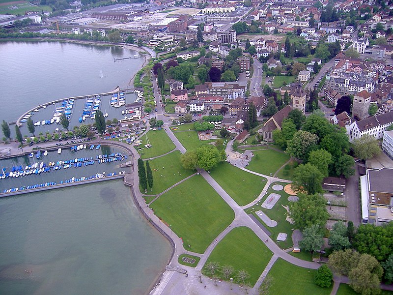
Deutsch: Die Bodensee-Stadt Arbon in einer Luftaufnahme (Hafen) |
| Date | |
| Source | Own work |
| Author | Michael Huwiler (Huwi at de.wikipedia) |
| Camera location | | View this and other nearby images on: OpenStreetMap |
|---|
Licensing

|
The copyright holder of this file allows anyone to use it for any purpose, provided that the copyright holder is properly attributed. Redistribution, derivative work, commercial use, and all other use is permitted. |
|
|
Original upload log
The original description page was here. All following user names refer to de.wikipedia.
- 2005-07-24 18:48 Huwi 1024×768× (303968 bytes) {{Bildbeschreibung|Die Bodensee-Stadt Arbon in einer Luftaufnahme (Hafen) |Eigenaufnahme |Michael Huwiler |30.05.2005 }} {{Bild-by}}
File history
Click on a date/time to view the file as it appeared at that time.
| Date/Time | Thumbnail | Dimensions | User | Comment | |
|---|---|---|---|---|---|
| current | 01:23, 29 April 2011 | | 1,024 × 768 (297 KB) | File Upload Bot (Magnus Manske) | {{BotMoveToCommons|de.wikipedia|year={{subst:CURRENTYEAR}}|month={{subst:CURRENTMONTHNAME}}|day={{subst:CURRENTDAY}}}} {{Information |Description={{de|Die Bodensee-Stadt Arbon in einer Luftaufnahme (Hafen)<br/> Der Urheber ist:}} |Source=Transferred from |
File usage
The following page uses this file:
Global file usage
The following other wikis use this file:
- Usage on cs.wikipedia.org
- Usage on de.wikipedia.org
- Usage on en.wikipedia.org
- Usage on fa.wikipedia.org
- Usage on fi.wikipedia.org
- Usage on it.wikipedia.org
- Usage on ko.wikipedia.org
- Usage on ku.wikipedia.org
- Usage on nl.wikipedia.org
- Usage on nn.wikipedia.org
- Usage on no.wikipedia.org
- Usage on sr.wikipedia.org