File:Ogooue-Lolo departments.png
Size of this preview: 776 × 600 pixels. Other resolutions: 311 × 240 pixels | 621 × 480 pixels | 994 × 768 pixels | 1,056 × 816 pixels.
Original file (1,056 × 816 pixels, file size: 20 KB, MIME type: image/png)
| This is a file from the Wikimedia Commons. Information from its description page there is shown below. Commons is a freely licensed media file repository. You can help. |
Summary
| Description |
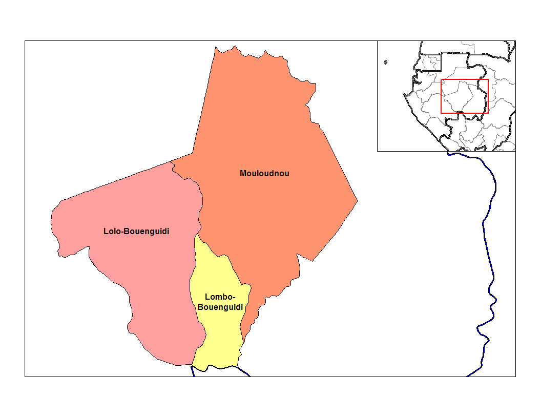
English: Map of the departments of Ogooue-Lolo province in Gabon. |
| Date | 2 January 2007 (original upload date) |
| Source | MapInfo Professional v8.5 and various mapping resource |
| Author | Rarelibra |
| Other versions |
Français : Carte à jour English: Up to date map
SVG : |
Licensing
| I, the copyright holder of this work, release this work into the public domain. This applies worldwide. In some countries this may not be legally possible; if so: I grant anyone the right to use this work for any purpose, without any conditions, unless such conditions are required by law. |

|
File:Départements de l'Ogooué-Lolo.svg is a vector version of this file. It should be used in place of this PNG file.
File:Ogooue-Lolo departments.png → File:Départements de l'Ogooué-Lolo.svg
For more information, see Help:SVG. |
|
File history
Click on a date/time to view the file as it appeared at that time.
| Date/Time | Thumbnail | Dimensions | User | Comment | |
|---|---|---|---|---|---|
| current | 20:22, 2 January 2007 | | 1,056 × 816 (20 KB) | Rarelibra | Map of the departments of Ogooue-Lolo province in Gabon. Created by ~~~~ for public domain use, using MapInfo Professional v8.5 and various mapping resources. |
File usage
The following page uses this file:
Global file usage
The following other wikis use this file:
- Usage on avk.wikipedia.org
- Usage on nl.wikipedia.org
- Usage on pt.wikipedia.org