File:Pichincha.png
Size of this preview: 800 × 534 pixels. Other resolutions: 320 × 214 pixels | 640 × 427 pixels | 1,024 × 684 pixels | 1,280 × 855 pixels | 1,920 × 1,282 pixels.
Original file (1,920 × 1,282 pixels, file size: 96 KB, MIME type: image/png)
| This is a file from the Wikimedia Commons. Information from its description page there is shown below. Commons is a freely licensed media file repository. You can help. |
Summary
| Description |
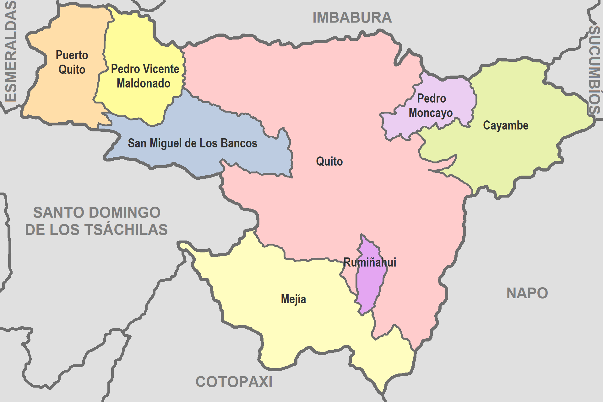
English: Map of Pichincha
Español: Mapa de Pichincha |
| Date | |
| Source | De mi trabajo |
| Author | David C. S. |
Licensing
I, the copyright holder of this work, hereby publish it under the following license:
| This file is made available under the Creative Commons CC0 1.0 Universal Public Domain Dedication. | |
| The person who associated a work with this deed has dedicated the work to the public domain by waiving all of their rights to the work worldwide under copyright law, including all related and neighboring rights, to the extent allowed by law. You can copy, modify, distribute and perform the work, even for commercial purposes, all without asking permission.
|
File history
Click on a date/time to view the file as it appeared at that time.
| Date/Time | Thumbnail | Dimensions | User | Comment | |
|---|---|---|---|---|---|
| current | 03:32, 14 June 2022 | | 1,920 × 1,282 (96 KB) | David C. S. | Imagen |
| 04:07, 26 September 2017 |  | 707 × 457 (37 KB) | Berposen | Actualizando los limites de la provincia de Santo Domingo de los Tsachilas. | |
| 21:16, 10 October 2011 |  | 707 × 457 (33 KB) | David C. S. | Imagen | |
| 23:52, 6 April 2011 |  | 601 × 384 (39 KB) | David C. S. | {{Information |Description ={{en|1=Map of Pichincha}} {{es|1=Mapa de Pichincha}} |Source =De mi trabajo |Author =David C. S. |Date =2011-04-03 |Permission = |other_versions = }} |
File usage
There are no pages that use this file.