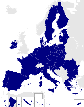
Template:Infobox European Parliament constituency/doc
| This is a documentation subpage for Template:Infobox European Parliament constituency. It may contain usage information, categories and other content that is not part of the original template page. |
| This template uses Lua: |
Usage
change| {{{title}}} | |
|---|---|
| European Parliament constituency | |
 Location among the 2014 constituencies | |
| [[File:{{{map}}}|{{{mapsize}}}|alt={{{mapalt}}}|upright=1]] {{{mapcaption}}} | |
| Member state | [[{{{memberstatelink}}}|{{{memberstate}}}]] |
| Electorate | {{{electorate population}}} |
| Created | [[{{{created}}} European Parliament election in {{{memberstatelink2}}}|{{{created}}}]] |
| Dissolved | [[{{{dissolved}}} European Parliament election|{{{dissolved}}} ]] |
| MEPs | {{{meps}}} |
| Recreated | |
| Created | [[{{{created2}}} European Parliament election in {{{memberstatelink2}}}|{{{created2}}}]] |
| Dissolved | [[{{{dissolved2}}} European Parliament election|{{{dissolved2}}} ]] |
| MEPs | {{{meps2}}} |
| Sources | |
| {{{sources}}} | |
{{Infobox European Parliament constituency
| title                 =
| locationmap2014       =
| coordinates           = <!-- {{coord|...|...}} -->
| pushpin_map           =
| pushpin_mapsize       =
| pushpin_mapcaption    =
| map                   =
| mapsize               =
| mapalt                =
| mapcaption            =
| memberstate           =
| memberstatelink       =
| memberstatelink2      =
| electorate population =
| created               =
| dissolved             =
| meps                  =
| created2              =
| dissolved2            =
| meps2                 =
| sources               =
}}
Short syntax
change{{Infobox European Parliament constituency
| title =
| locationmap2014 =
| coordinates = <!-- {{coord|...|...}} -->
| map =
| mapalt =
| mapcaption =
| memberstate =
| electorate population =
| created =
| dissolved =
| meps =
}}
Parameters
change- title
- what appears at the top of the infobox; required
- locationmap2014
- set to the region code for the constituency if constituency existed in 2014 (must match one of the EP-constituency maps at commons)
- coordinates
- coordinates of constituency using the {{coord}} template; set to decimal longitude if location map set to "yes"
- pushpin_map
- name of a location map to use via {{location map}} (requires coordinates)
| pushpin_mapsize :
- pushpin_mapcaption
- map
- a secondary map
- mapsize
- mapalt
- mapcaption
- memberstate
- the name of the country the constituency is part of
- memberstatelink
- the Wikipedia-article title of the country, if different from its name
- memberstatelink2
- former or full country name, if different from its name, e.g. 'West Germany' or 'the United Kingdom'
- electorate population
- population of electorate as of last election
- created
- date of constituency creation
- dissolved
- date of constituency dissolution
- meps
- number of MEPs
- created2
- dissolved2
- meps2
- sources
- sources for further reading
