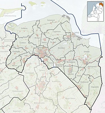
Template:Location map Netherlands Groningen
| name | Groningen (province) | |||
|---|---|---|---|---|
| border coordinates | ||||
| 53.552 | ||||
| 6.1214 | ←↕→ | 7.2592 | ||
| 52.8156 | ||||
| map center | 53°11′02″N 6°41′25″E / 53.1838°N 6.6903°E | |||
| image | 2010-NL-P01-Groningen-positiekaart-gemnamen.jpg
| |||

| ||||
| name | Groningen (province) | |||
|---|---|---|---|---|
| border coordinates | ||||
| 53.552 | ||||
| 6.1214 | ←↕→ | 7.2592 | ||
| 52.8156 | ||||
| map center | 53°11′02″N 6°41′25″E / 53.1838°N 6.6903°E / 53.1838; 6.6903 | |||
| image | 2010-NL-P01-Groningen-positiekaart-gemnamen.jpg
| |||

| ||||