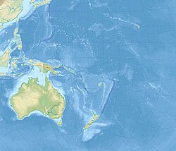
Cook Strait
strait between the North and South Islands of New Zealand
Cook Strait (Māori: Te Moana-o-Raukawa) is the body of water between the North and South Islands of New Zealand. It connects the Tasman Sea on the west with the South Pacific Ocean on the east.
| Cook Strait | |
|---|---|
| Coordinates | 41°13′46″S 174°28′59″E / 41.22944°S 174.48306°E |
| Basin countries | New Zealand |
| Min. width | 22 km (14 mi) |
| Average depth | 128 m (420 ft) |
The strait is named after James Cook, who was the first European commander to sail through it. Its Māori name is Te Moana-o-Raukawa. The strait has an average depth of 128 metres (420 ft). The strait can be dangerous and unpredictable, because of the tide patterns and the weather. The most common way to get across is by ferry.

