Chitral
Valley in Khyber Pakhtunkhwa, Pakistan
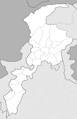
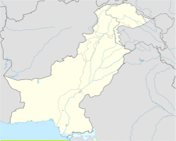
Chitral (Urdu: چترال, is the valley of the Chitral District in Pakistan. It is on the western bank of the Chitral River. It has a population of 20,000. Chitrali language is native language. It has total area size of 35.9 km.
Chitral
چترال | |
|---|---|
 Ataliq bazaar | |
| Coordinates: 35°50′46″N 71°47′09″E / 35.84611°N 71.78583°E | |
| Country | Pakistan |
| Province | Khyber Pakhtunkhwa |
| District | Chitral District |
| Government | |
| • Body | MNA |
| • MNA (NA-32) | Moulana Abdul Akbar Chitrali (APML)[1] |
| Area | |
| • Total | 35.9 km2 (13.9 sq mi) |
| Elevation | 1,517 m (4,977 ft) |
| Languages | |
| • Official | Urdu |
| • Native | Chitrali language |
| Time zone | UTC+5 (PST) |
| PIN | 1720 |
| Website | chitral |
History
changeChitral has for millennia been an important point on the trade routes from northern Afghanistan (ancient Bactria) and the Tarim Basin to the plains of Gandhara (in northern Pakistan), and the region near Jalalabad, in eastern Afghanistan.
References
change- ↑ "Personal Profile". na.gov.pk. National Assembly of Pakistan. Retrieved 24 October 2023.
- ↑ https://ppaspk.org/index.php/PPAS-A/article/download/1098/647&ved=2ahUKEwivnKW2xY6CAxWOTKQEHaR_A_8QFnoECDgQAQ&usg=AOvVaw0U6E7LOxiIau4JySUVla4z
- ↑ "Geography of Chitral". Chitralnews.com. Archived from the original on 2018-10-09. Retrieved 2015-11-06.
Other websites
changeWikivoyage has a travel guide about: Chitral
Wikimedia Commons has media related to Chitral.

