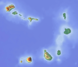
Santo Antão, Cape Verde
second largest island of Cape Verde
Santo Antão is the westernmost island of Cape Verde. It is in the Barlavento Islands group. Its population was 38,200 in mid 2019.[1] Its largest city is Porto Novo on the south coast.[2]
Nickname: Ilha das montanhas (island of the mountains) | |
|---|---|
 | |
| Geography | |
| Location | Atlantic Ocean |
| Coordinates | 17°04′12″N 25°10′16″W / 17.070°N 25.171°W |
| Area | 785 km2 (303 sq mi) |
| Length | 42.8 km (26.59 mi) |
| Width | 24.0 km (14.91 mi) |
| Highest elevation | 1,979 m (6493 ft) |
| Highest point | Tope de Coroa |
| Administration | |
| Concelhos (Municipalities) | Paul, Porto Novo, Ribeira Grande |
| Largest settlement | Porto Novo |
| Demographics | |
| Population | 38,200 (2019) |
| Pop. density | 48.66/km2 (126.03/sq mi) |
The island was discovered in 1461 or 1462 by Diogo Afonso, together with the islands of São Vicente and São Nicolau.[3]
Administrative divisions
changeThe island is divided in three municipalities. These are divided into civil parishes:
- Paul
CV-PA - Porto Novo
CV-PN - Ribeira Grande
CV-RG
References
change- ↑ Instituto Nacional de Estatística, Cabo Verde (web).
- ↑ "2010 Census results Santo Antão". Instituto Nacional de Estatística Cabo Verde (in Portuguese). 24 November 2016.
- ↑ Valor simbólico do centro histórico da Praia, Lourenço Conceição Gomes, Universidade Portucalense, 2008
